ファイル:NE-districts-109.gif
ウィキペディア フリーな encyclopedia
高解像度版はありません。
NE-districts-109.gif (588 × 450 ピクセル、ファイルサイズ: 32キロバイト、MIME タイプ: image/gif)
ウィキメディア・コモンズのファイルページにある説明を、以下に表示します。
|
概要
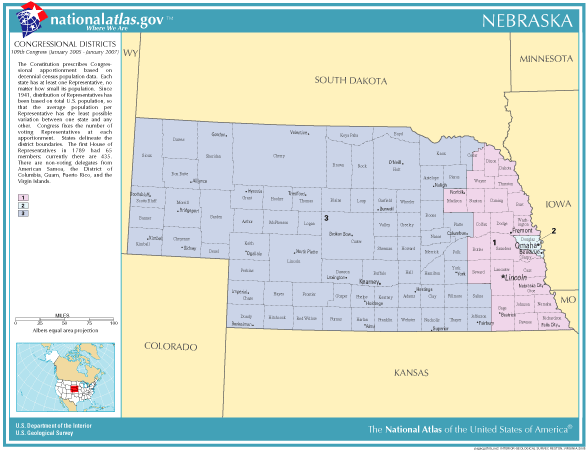
| 解説NE-districts-109.gif |
English: Map of Congressional Districts in the state of Nebraska. |
| 日付 | |
| 原典 | National Atlas of the United States (http://nationalatlas.gov/printable/congress.html) |
| 作者 | Department of the Interior |
ライセンス
| Public domainPublic domainfalsefalse |
This map was obtained from an edition of the National Atlas of the United States. Like almost all works of the U.S. federal government, works from the National Atlas are in the public domain in the United States.
Online access: NationalAtlas.gov | 1970 print edition: Library of Congress, Perry-Castañeda Library čeština | Deutsch | English | français | Bahasa Indonesia | italiano | македонски | മലയാളം | sicilianu | 中文 | 中文(简体) | 中文(繁體) | +/− |
ファイルの履歴
過去の版のファイルを表示するには、その版の日時をクリックしてください。
| 日付と時刻 | サムネイル | 寸法 | 利用者 | コメント | |
|---|---|---|---|---|---|
| 現在の版 | 2006年1月6日 (金) 16:18 | | 588 × 450 (32キロバイト) | Swid | {{PD-USGov-Atlas}} Category:Nebraska |
ファイルの使用状況
以下の 2 ページがこのファイルを使用しています: