File:Map_of_Potter_County,_Pennsylvania.png
Da Wikipedia, l'enciclopedia encyclopedia
Dimensioni di questa anteprima: 510 × 600 pixel. Altre risoluzioni: 204 × 240 pixel | 408 × 480 pixel | 653 × 768 pixel | 871 × 1 024 pixel | 1 542 × 1 813 pixel.
File originale (1 542 × 1 813 pixel, dimensione del file: 133 KB, tipo MIME: image/png)
| Questo file e la sua pagina di descrizione (discussione · modifica) si trovano su Wikimedia Commons (?) |
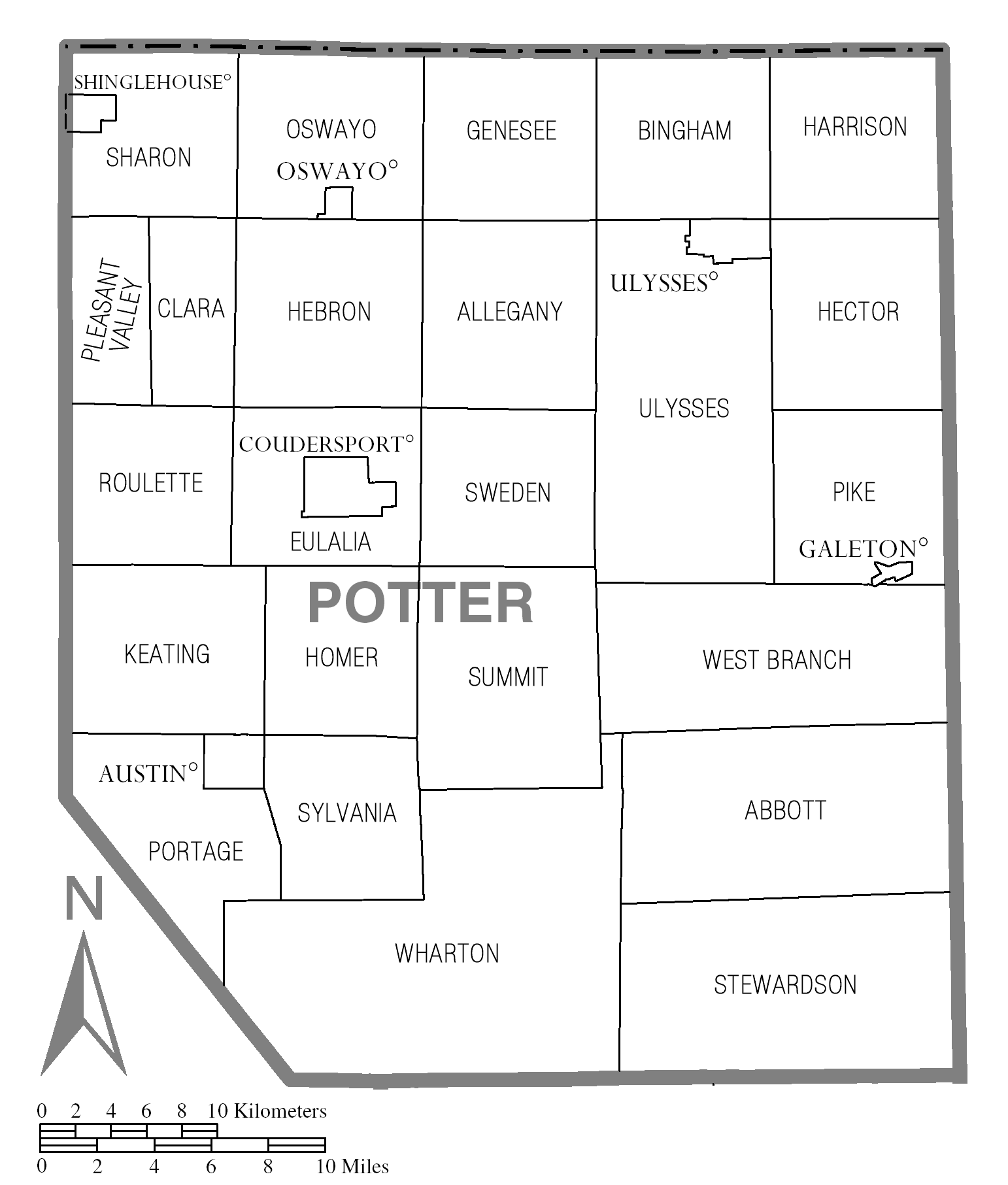
| DescrizioneMap of Potter County, Pennsylvania.png | Map of Potter County. | |||
| Data | ||||
| Fonte | Source image taken from the United States Census Bureau's website pa_cosub.pdf. Image was modified by Ram-Man. | |||
| Autore | (c)2006 Derek Ramsey (Ram-Man) (from U.S. Census Bureau source) | |||
| Licenza (Riusare questo file) |
A United States Census Bureau / Government work is in the public domain, however, my modifications are licensed as follows: You may NOT use this image on your own web site or anywhere else unless you release this image and any derivative works (e.g. your web site) by following the terms of one of the following licenses. Any other use will be considered a breach of copyright and I reserve the right of legal action. If you have not read the terms of these licenses or do not understand them, then do not use this image. Io, detentore del copyright su quest'opera, dichiaro di pubblicarla con le seguenti licenze:
Questo file è disponibile in base alle licenze Creative Commons Attribuzione-Condividi allo stesso modo 2.5 Generico, 2.0 Generico e 1.0 Generico
Puoi scegliere la licenza che preferisci. |
|||
| Altre versioni | Image:Map of Potter County, Pennsylvania No Text.png - Version without text |

Didascalie
Aggiungi una brevissima spiegazione di ciò che questo file rappresenta
Elementi ritratti in questo file
raffigura
10 ott 2006
Cronologia del file
Fare clic su un gruppo data/ora per vedere il file come si presentava nel momento indicato.
| Data/Ora | Miniatura | Dimensioni | Utente | Commento | |
|---|---|---|---|---|---|
| attuale | 19:35, 8 nov 2008 | | 1 542 × 1 813 (133 KB) | Ruhrfisch | East Fork no longer exists, removed border between it and Wharton Township. All other information is the same. |
| 02:49, 11 ott 2006 |  | 1 542 × 1 813 (89 KB) | Ram-Man | {{Information| |Description=Map of Potter County. |Source=Source image taken from the United States Census Bureau's website [http://www2.census.gov/geo/maps/general_ref/cousub_outline/cen2k_pgsz/pa_cosub.pdf pa_cosub.p |
Pagine che usano questo file
Nessuna pagina utilizza questo file.