Found in articles
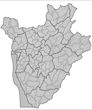
File:Burundi collines.png
DescriptionBurundi collines.png Map of the collines of Burundi. Created by Rarelibra 13:53, 31 March 2006 (UTC) for public domain use. Created using MapInfo
File:Burundi location map.svg
2009 Source own work, using United States National Imagery and Mapping Agency data World Data Base II data Burundi collines .png Author NordNordWest
