File:Relief_map_of_USA_Alaska.png
From Wikipedia, the free encyclopedia
Relief_map_of_USA_Alaska.png (776 × 580 pixels, dimension del file: 693 KB, typo MIME: image/png)
Iste file proveni de Wikimedia Commons e pote esser usate per altere projectos. Le description de su pagina de description ibi es monstrate in basso.
Summario
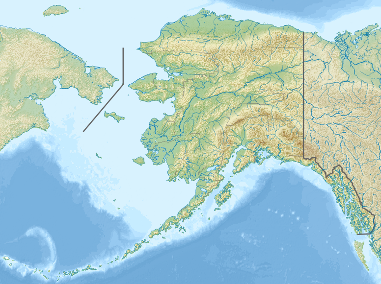
| DescriptionRelief map of USA Alaska.png |
Русский: Физическая карта Аляски.
Equirectangular projection, N/S stretching 210.0 %. Geographic limits of the map:
|
| Data | |
| Origine |
|
| Autor | Nzeemin |
| Altere versiones |
|

- Derivative works of this file: Attu Island-HEB.jpg
- Derivative works of this file: Rat Islands-HEB.jpg
- Derivative works of this file: Agattu Island-HEB.jpg
Licentia
- Tu es libere:
- de condivider – de copiar, distribuer e transmitter le obra
- de remixar – de adaptar le obra
- Sub le sequente conditiones:
- attribution – Tu debe dar information appropriate sur le autor, fornir un ligamine al licentia, e indicar si modificationes ha essite apportate. Tu pote facer lo de qualcunque maniera rationabile, ma non in alcun modo que suggere que le licentiator approba te o tu uso del obra.
- condivider equalmente – Si tu altera, transforma o disveloppa le material, tu debe distribuer tu contributiones sub un licentia identic o compatibile con le original.
Legendas
Objectos representate in iste file
representa
Alcun valor sin elemento Wikidata
copyright status anglese
copyrighted anglese
inception anglese
20 novembre 2012
source of file anglese
original creation by uploader anglese
media type anglese
image/png
Historia del file
Clicca sur un data/hora pro vider le file como appareva a ille tempore.
| Data/Hora | Miniatura | Dimensiones | Usator | Commento | |
|---|---|---|---|---|---|
| actual | 18:33, 20 novembre 2012 | | 776 × 580 (693 KB) | Nzeemin | User created page with UploadWizard |
Uso de iste file
Il non ha paginas que usa iste file.
Uso global de iste file
Le altere wikis sequente usa iste imagine:
- Uso in als.wikipedia.org
- Uso in ar.wikipedia.org
- Uso in ast.wikipedia.org
- Uso in avk.wikipedia.org
- Uso in azb.wikipedia.org
- Uso in az.wikipedia.org
- Şablon:Yer xəritəsi Amerika Birləşmiş Ştatları Alyaska
- Müqəddəs Lourens adası
- Çukot dənizi
- Aleut adaları
- Novarupta dağı
- Uels Şahzadəsi (Alyaska)
- Mitkov adası
- Nunivak adası
- Kruzenştern
- Unalaşka adası
- Kosebu körfəzi
- Amaknak adası
- Poa adası
- Amak adası
- Sanak adası
- Sedanka adası
- Unalqa adası
- Akutan adası
- Amukta adası
- Siquan adası
- Çaqulak adası
- Yunaska adası
- Herbert adası
- Karlayl adası
- Uliaqa adası
- Amatiqnak adası
- Qorelı adası
- Ulak adası
- Aqliqadak adası
- Aziak adası
- Amlia adası
- Anaqaksik adası
- Umak adası
- Böyük Sitkin adası
Vider altere usos global de iste file.
Metadatos
Iste file contine informationes additional, probabilemente addite per le camera digital o scanner usate pro crear o digitalisar lo.
Si le file ha essite modificate ab su stato original, es possibile que alcun detalios non reflecte completemente le file modificate.
| Resolution horizontal | 17,72 dpc |
|---|---|
| Resolution vertical | 17,72 dpc |
| Software usate |
|