File:Mapa_de_Venezuela,_N._Granada_y_Quito,_1821.jpg
From Wikipedia, the free encyclopedia

Dimension de iste previsualisation: 800 × 575 pixels.Altere resolutiones: 320 × 230 pixels | 640 × 460 pixels | 1 024 × 736 pixels | 1 280 × 920 pixels | 2 417 × 1 737 pixels.
File original (2 417 × 1 737 pixels, dimension del file: 1,43 MB, typo MIME: image/jpeg)
Iste file proveni de Wikimedia Commons e pote esser usate per altere projectos. Le description de su pagina de description ibi es monstrate in basso.
Summario
| DescriptionMapa de Venezuela, N. Granada y Quito, 1821.jpg |
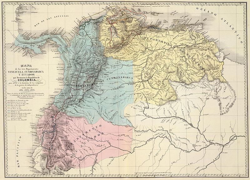
Español: Mapa de los tres departamentos Venezuela, Cundinamarca y Quito, que confomaron la República de Colombia y que muestra las campañas de la guerra de independencia entre 1821 y 1823. Tomado del "Atlas físico y político de la República de Venezuela", 1840. |
||||||||||||||||||||
| Data | |||||||||||||||||||||
| Origine | Historical Maps by Agustín Codazzi, from David Rumsey Website | ||||||||||||||||||||
| Autor |
creator QS:P170,Q1888523 |
||||||||||||||||||||

Licentia
| Public domainPublic domainfalsefalse |
|
This work is in the public domain in its country of origin and other countries and areas where the copyright term is the author's life plus 70 years or fewer.
| |
| Iste file ha essite identificate como essente libere de restrictiones cognoscite sub lege de copyright, incluse tote le derectos connexe e vicin. | |
https://creativecommons.org/publicdomain/mark/1.0/PDMCreative Commons Public Domain Mark 1.0falsefalse
Legendas
Objectos representate in iste file
representa
inception anglese
1840
media type anglese
image/jpeg
Historia del file
Clicca sur un data/hora pro vider le file como appareva a ille tempore.
| Data/Hora | Miniatura | Dimensiones | Usator | Commento | |
|---|---|---|---|---|---|
| actual | 06:01, 6 junio 2008 | | 2 417 × 1 737 (1,43 MB) | Milenioscuro | {{Information |Description= |Source= |Date= |Author= |Permission= |other_versions= }} |
| 12:24, 3 januario 2008 |  | 1 247 × 903 (368 KB) | Milenioscuro | {{Information |Description=Gran Colombia dividida en 3 departamentos en 1821 |Source=http://www.davidrumsey.com |Date=1840 |Author=Agustín Codazzi |Permission= |other_versions= }} Category:Gran Colombia Category:Old maps of Colombia [[Category:Ol |
Uso de iste file
Le sequente pagina usa iste file:
Uso global de iste file
Le altere wikis sequente usa iste imagine:
- Uso in ar.wikipedia.org
- Uso in en.wikipedia.org
- Uso in es.wikipedia.org
- Uso in fr.wikipedia.org
- Uso in gl.wikipedia.org
- Uso in guc.wikipedia.org
- Uso in hu.wikipedia.org
- Uso in it.wikipedia.org
- Uso in ja.wikipedia.org
- Uso in pt.wikipedia.org
- Uso in sl.wikipedia.org
- Uso in sq.wikipedia.org
- Uso in te.wikipedia.org
Metadatos
Iste file contine informationes additional, probabilemente addite per le camera digital o scanner usate pro crear o digitalisar lo.
Si le file ha essite modificate ab su stato original, es possibile que alcun detalios non reflecte completemente le file modificate.
| _error | 0 |
|---|