Fájl:Map_of_Butler,_Butler_County,_Pennsylvania_Highlighted.png
From Wikipedia, the free encyclopedia
Eredeti fájl (1 256 × 1 884 képpont, fájlméret: 35 KB, MIME-típus: image/png)
|
Ez a fájl a Wikimedia Commonsból származik. Az alább látható leírás az ottani dokumentációjának másolata. A Commons projekt szabad licencű kép- és multimédiatár. Segíts te is az építésében! |
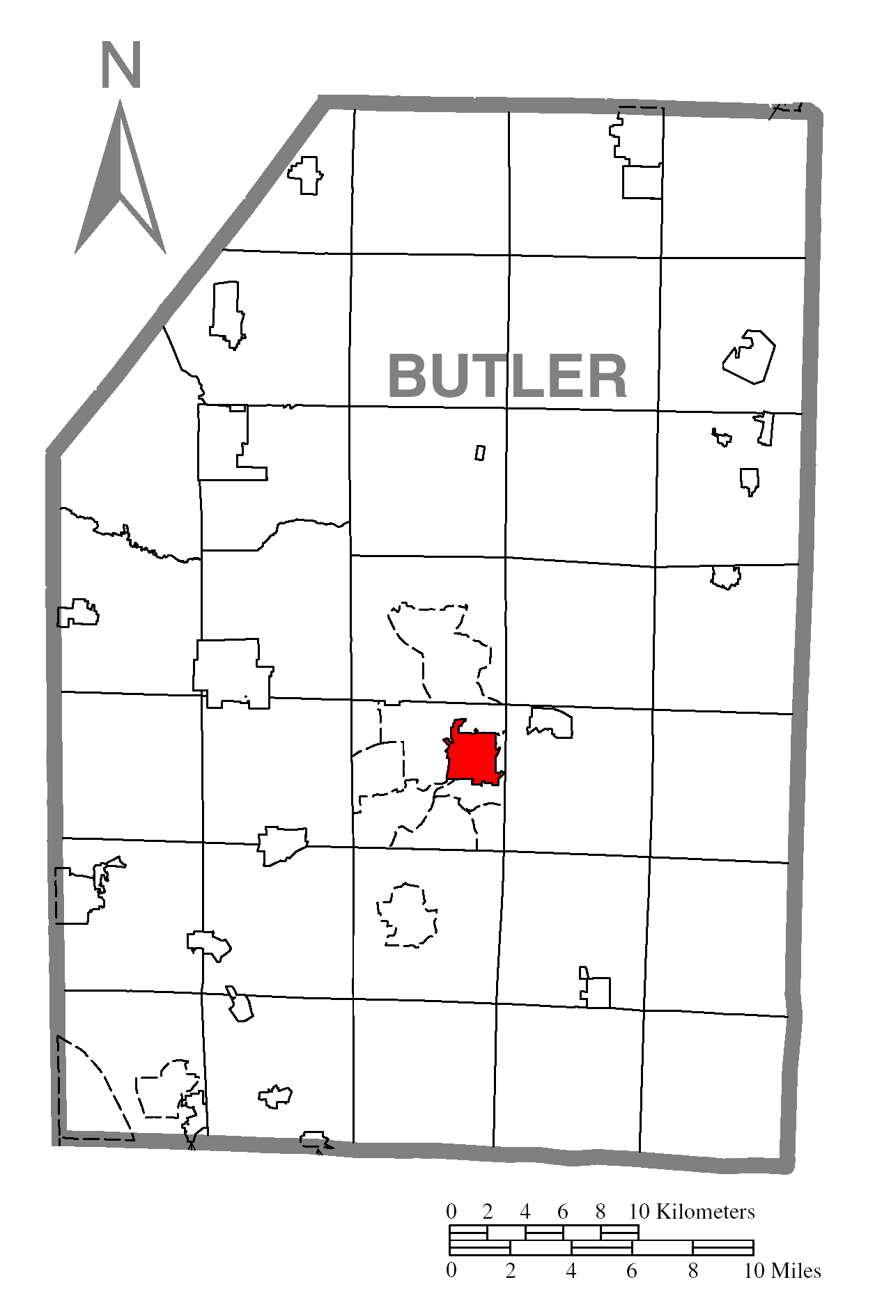
| LeírásMap of Butler, Butler County, Pennsylvania Highlighted.png | A map of Butler County showing Butler, Pennsylvania (alternate) highlighted on the map. | |||
| Dátum | ||||
| Forrás | Source image taken from the United States Census Bureau's website pa_cosub.pdf. Image was modified by Ram-Man. | |||
| Szerző | (c)2006 Derek Ramsey (Ram-Man) (from U.S. Census Bureau source) | |||
| Engedély (Fájl újrafelhasználása) |
A United States Census Bureau / Government work is in the public domain, however, my modifications are licensed as follows: You may NOT use this image on your own web site or anywhere else unless you release this image and any derivative works (e.g. your web site) by following the terms of one of the following licenses. Any other use will be considered a breach of copyright and I reserve the right of legal action. If you have not read the terms of these licenses or do not understand them, then do not use this image. Én, e mű szerzője a művemet az alábbi licencek alatt teszem közzé:
Ez a fájl a Creative Commons Nevezd meg! – Így add tovább! 2.5 Általános, 2.0 Általános és 1.0 Általános licencek alapján használható fel.
A mű a fenti licencek bármelyike szerint felhasználható. |
|||
| Más változatok |
Image:Map of Butler County, Pennsylvania.png - Source map before highlighting (with text). Image:Map of Butler County, Pennsylvania No Text.png - Source map before highlighting (without text). |

Képaláírások
A fájl által ábrázolt elemek
mű tárgya
11. október 2006
Fájltörténet
Kattints egy időpontra, hogy a fájl akkori állapotát láthasd.
| Dátum/idő | Bélyegkép | Felbontás | Feltöltő | Megjegyzés | |
|---|---|---|---|---|---|
| aktuális | 2006. október 12., 05:07 | | 1 256 × 1 884 (35 KB) | Ram-Man | {{Information| |Description={{PennMapDesc|Butler|}} |Source=Source image taken from the United States Census Bureau's website [http://www2.census.gov/geo/maps/general_ref/cousub_outline/cen2k_pgsz/pa_cosub.pdf pa_cosub.pdf]. Image was modified by [[:en:Us |
Fájlhasználat
Az alábbi lap használja ezt a fájlt:
Globális fájlhasználat
A következő wikik használják ezt a fájlt:
- Használata itt: ar.wikipedia.org
- Használata itt: azb.wikipedia.org
- Használata itt: ca.wikipedia.org
- Használata itt: ceb.wikipedia.org
- Használata itt: cy.wikipedia.org
- Használata itt: eo.wikipedia.org
- Használata itt: eu.wikipedia.org
- Használata itt: fa.wikipedia.org
- Használata itt: fr.wikipedia.org
- Használata itt: ga.wikipedia.org
- Használata itt: ht.wikipedia.org
- Használata itt: ja.wikipedia.org
- Használata itt: kw.wikipedia.org
- Használata itt: sh.wikipedia.org
- Használata itt: sr.wikipedia.org
- Használata itt: sv.wikipedia.org
- Használata itt: tt.wikipedia.org
- Használata itt: ur.wikipedia.org
- Használata itt: vi.wikipedia.org
- Használata itt: vo.wikipedia.org
- Használata itt: www.wikidata.org
- Használata itt: zh-min-nan.wikipedia.org