File:Barents_sea_map_blank.png
From Wikipedia, the free encyclopedia
इस पूर्वावलोकन का आकार: 655 × 599 पिक्सेल। दूसरे रेसोल्यूशन्स: 262 × 240 पिक्सेल | 525 × 480 पिक्सेल | 839 × 768 पिक्सेल | 1,200 × 1,098 पिक्सेल।
मूल चित्र ((1,200 × 1,098 पिक्सेल, फ़ाइल का आकार: 252 KB, MIME प्रकार: image/png))
|
|
यह फ़ाइल विकिमेडिया कॉमन्स से है। वहाँ पर इसका विवरण पृष्ठ निम्नोक्त है। कॉमन्स मुक्त लाइसेंसों के अंतर्गत उपलब्ध मीडिया फ़ाइलों का संग्रह है। आप भी इसमें मदद कर सकते हैं। |

|
This locator map image could be re-created using vector graphics as an SVG file. This has several advantages; see Commons:Media for cleanup for more information. If an SVG form of this image is available, please upload it and afterwards replace this template with
{{vector version available|new image name}}.
It is recommended to name the SVG file “Barents sea map blank.svg”—then the template Vector version available (or Vva) does not need the new image name parameter. |
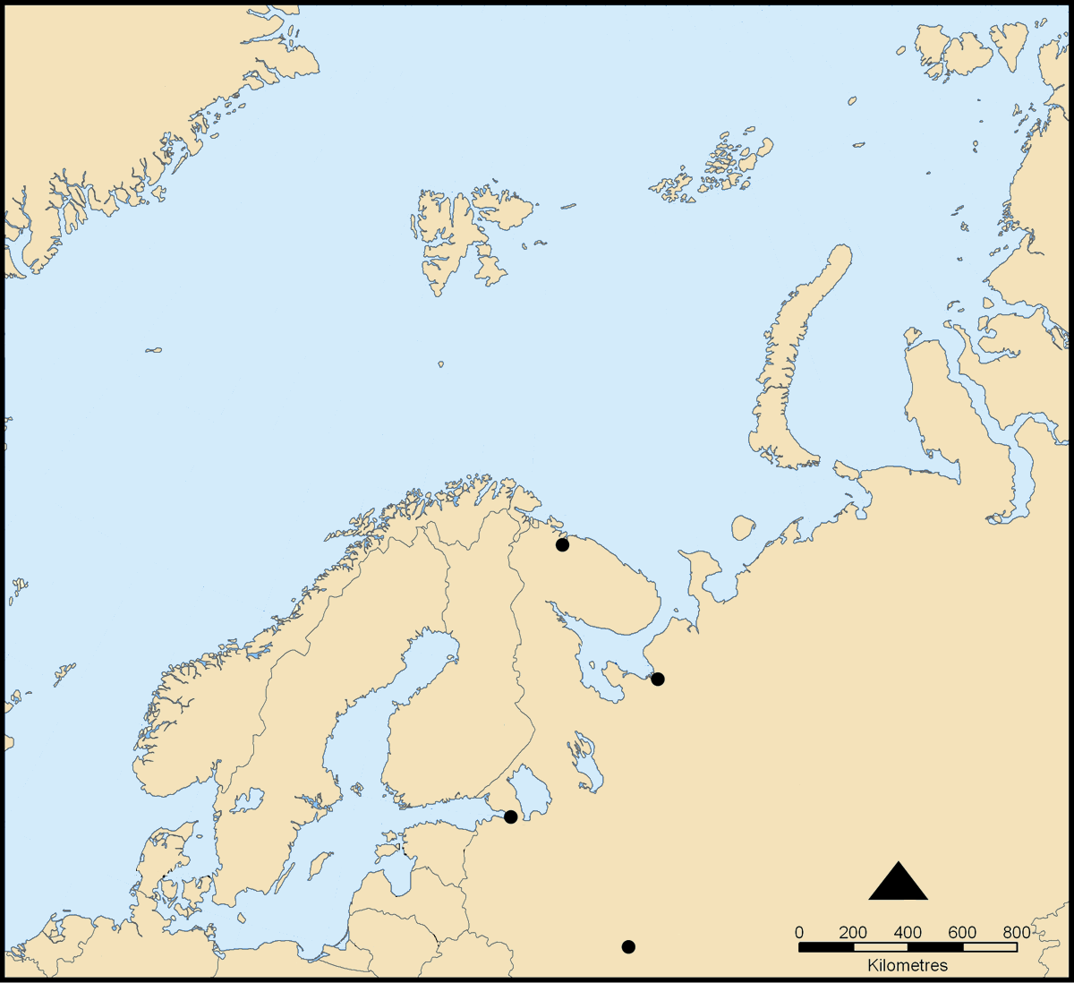
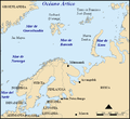
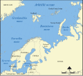
This map shows the location of the Barents Sea north of Russia and Norway, and the surrounding seas and islands.
Created by NormanEinstein, November 25, 2005.
Modified and blanked by historicair 22:27, 28 February 2006 (UTC)
This map was improved or created by the Wikigraphists of the Graphic Lab (fr). You can propose images to clean up, improve, create or translate as well. |
मैं, इस कार्य का/की कॉपीराइट धारक, इसे निम्न लाइसेंसों के अंतर्गत प्रकाशित करता/करती हूँ:

|
इस दस्तावेज़ को Free Software Foundation द्वारा प्रकाशित GNU मुक्त प्रलेख लाइसेंस के संस्करण 1.2 या नए (बिना किसी अपरिवर्तनीय अनुभागों और अगले या पिछले आवरण के टेक्स्ट के) के अंतर्गत प्रतिलिपि बनाने, बाँटने और/या बदलने की अनुमति प्रदान की जाती है। इस लाइसेंस की एक प्रतिलिपि GNU मुक्त प्रलेख लाइसेंस नामक अनुभाग में शामिल है।http://www.gnu.org/copyleft/fdl.htmlGFDLGNU Free Documentation Licensetruetrue |
| इस फ़ाइल को क्रिएटिव कॉमन्स श्रेय-समानसांझा 3.0 अनरिपोर्टेड लाइसेंस के अंतर्गत लाइसेंस किया गया है। | ||
| ||
| This licensing tag was added to this file as part of the GFDL licensing update.http://creativecommons.org/licenses/by-sa/3.0/CC BY-SA 3.0Creative Commons Attribution-Share Alike 3.0truetrue |
आप अपना पसंद का लाइसेंस चुन सकते हैं।
derivative works
[सम्पादन]
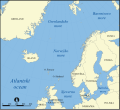
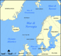
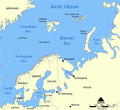
- Norwegian Sea
-

-
 bosanski
 -
 čeština
 -
 dansk
dansk -
 Deutsch
 -
 eesti
eesti -
 English
 -
 français
 -
 français (Jan Mayen localisation)
 -
 hrvatski
 -
 italiano
 -
 magyar
 -
 magyar
 -
 norsk
norsk -
 svenska
 -
 македонски
 -
 нохчийн
 -
 русский
 -
 українська
 -
 中文
中文 -
 עברית
עברית


- Barents Sea
-

-
 Deutsch
 -
 English
 -
 español
 -
 hrvatski
 -
 magyar
 -
 Kiswahili
 -
 русский
 -
 Ελληνικά


Captions
Add a one-line explanation of what this file represents
Items portrayed in this file
चित्रण
media type अंग्रेज़ी
image/png
checksum अंग्रेज़ी
89cefce1090e1eab640e4ca07b0261de893989bc
data size अंग्रेज़ी
२,५७,७७७ बाइट
१,०९८ पिक्सल
width अंग्रेज़ी
१,२०० पिक्सल
चित्र का इतिहास
फ़ाइलका पुराना अवतरण देखने के लिये दिनांक/समय पर क्लिक करें।
| दिनांक/समय | थंबनेल | आकार | सदस्य | प्रतिक्रिया | |
|---|---|---|---|---|---|
| वर्तमान | 22:27, 28 फ़रवरी 2006 | | 1,200 × 1,098 (252 KB) | Historicair | This map shows the location of the Barents Sea north of Russia and Norway, and the surrounding seas and islands. Created by NormanEinstein, November 25, 2005. Modified and blanked by ~~~~ {{GFDL-self}} Category:Maps of seas |
चित्र का उपयोग
इस चित्र से कोई पन्ने नहीं जुड़ते