檔案:Port_of_Dover_-_view_from_the_White_Cliffs-4101-03.jpg
From Wikipedia, the free encyclopedia
- vùn-khien
- Vùn-khien li̍t-sṳ́
- Vùn-khien yung-chhú
- Chhiòn-vet tóng-on sṳ́-yung chhong-khóng
- Ngièn sú-kí
Ngièn-pún tóng-on (7,785 × 3,051 chhiong-su, vùn-khien thai-séu: 3.14 MB, MIME lui-hîn: image/jpeg)
邇文件來自於Wikimedia Commons,其可能在其它計劃項目肚分應用。 其在[1]介片上嘅描述在下背展示。
Vùn-khien sot-mìn
| Mèu-sutPort of Dover - view from the White Cliffs-4101-03.jpg |
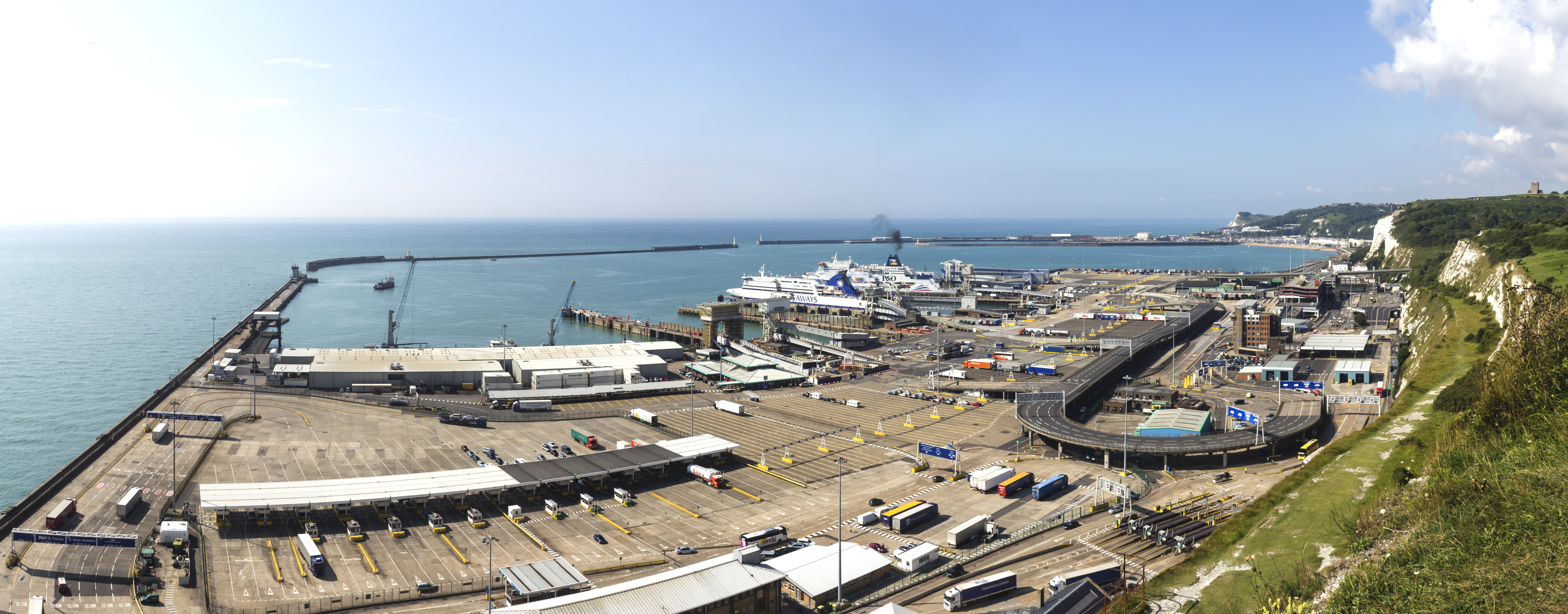
English: Port of Dover - view from the White Cliffs Deutsch: Hafen von Dover. Blick herab von den weißen Klippen von Dover |
|||||||||||||||||
| Ngit-khì | ||||||||||||||||||
| Lòi-ngièn | Chhṳ-kâ ke chok-phín | |||||||||||||||||
| Chok-chá |
creator QS:P170,Q108103612 |
|||||||||||||||||
| 其他版本 |
|
|||||||||||||||||
| 姓名標示 (由许可协议要求) InfoField | © Raimond Spekking / CC BY-SA 4.0 (via Wikimedia Commons) |
|||||||||||||||||
InfoField | © Raimond Spekking | |||||||||||||||||


| 拍攝地點 | 51° 07′ 52.24″ 北, 1° 20′ 28.59″ 東 | 位於此地的本圖片與其他圖片: OpenStreetMap |
|---|

|
注意:这是一张全景图,使用PanoramaStudio将3张图片拼接而成。所以该图片经过了某些数字化的操作。这些操作可能包括混合,模糊,克隆,以及颜色和角度的调整。由于这些调整,图片在接缝处可能和真实照片有一些差异。这些操作往往会带来镜头,透视和视差方面的失真。
Boarisch | български | dansk | Deutsch | Zazaki | Ελληνικά | English | Canadian English | British English | Esperanto | español | eesti | suomi | français | hrvatski | magyar | italiano | 日本語 | 한국어 | македонски | മലയാളം | Nederlands | polski | português | русский | sicilianu | slovenščina | svenska | Türkçe | українська | العربية | 中文 | +/− |
Su-khièn
I have published this image as author under the Creative-Commons-Licence CC BY-SA 4.0.. This means that free online usage outside of Wikimedia projects under the following terms of licence is possible:
- The image is credited with "© Raimond Spekking / CC BY-SA 4.0 (via Wikimedia Commons)"
For all other kind of usages (books, journales, flyers, etc.) click on the following button. You will get all information needed.
I would be happy to receive a specimen copy or the URL of the website where the image is used.
Please write an email to raimond.spekking@gmail.com (GPG encrypted emails are welcome: Key-ID: 0xB12BE7A6), if you
- need the image in a higher resolution
- need my postal address for sending a specimen copy
- have further questions to the terms of licence
- Ngì cho-tet chhṳ-yù:
- fûn-hióng – fu̍k-chṳ, fat-pu lâu chhòn-pô pún chok-phín
- chhùng-sîn siû-kói – chhóng-chok yên-yi̍t chok-phín
- 惟需遵照下列條件:
- 姓名標示 – 您必須指名出正確的製作者,和提供授權條款的連結,以及表示是否有對內容上做出變更。您可以用任何合理的方式來行動,但不得以任何方式表明授權條款是對您許可或是由您所使用。
- siông-thùng fông-sṳt fûn-hióng – 如果您利用本素材進行再混合、轉換或創作,您必須基於如同原先的相同或兼容的條款,來分布您的貢獻成品。
| Annotations InfoField | This image is annotated: View the annotations at Commons |

說明
創作作者 繁體中文
授權條款 繁體中文
創用CC姓名標示-相同方式分享4.0國際 繁體中文
成立或建立時間 繁體中文
7 8 2014
視角位置 繁體中文
(藍鳥飛過)多佛的白色懸崖 繁體中文
Vùn-khien li̍t-sṳ́
Tiám-khim ngit-khì / sṳ̀-kiên lòi chhà-khon tông-sṳ̀ chhut-hien-ko ke vùn-khien.
| Ngit khì / Sṳ̀-kiên | Suk-lio̍k-thù | Vì-thu | Yung-fu | Yi-kien | |
|---|---|---|---|---|---|
| tông-chhièn | 2014年11月6日 (Si) 19:04 | 7,785 × 3,051(3.14 MB) | Raymond | User created page with UploadWizard |
Vùn-khien yung-chhú
Hâ poi ke 1-chak ya̍p-mien lièn-chiap to pún vùn-khien:
Chhiòn-vet tóng-on sṳ́-yung chhong-khóng
Hâ-lie̍t khì-thâ Wiki chûng sṳ́-yung liá-chak tóng on:
- bn.wikipedia.org ke sṳ́-yung chhong-khóng
- ceb.wikipedia.org ke sṳ́-yung chhong-khóng
- de.wikipedia.org ke sṳ́-yung chhong-khóng
- de.wiktionary.org ke sṳ́-yung chhong-khóng
- en.wikipedia.org ke sṳ́-yung chhong-khóng
- eu.wikipedia.org ke sṳ́-yung chhong-khóng
- fi.wikipedia.org ke sṳ́-yung chhong-khóng
- fr.wikipedia.org ke sṳ́-yung chhong-khóng
- gv.wikipedia.org ke sṳ́-yung chhong-khóng
- he.wikipedia.org ke sṳ́-yung chhong-khóng
- hi.wikipedia.org ke sṳ́-yung chhong-khóng
- lt.wikipedia.org ke sṳ́-yung chhong-khóng
- no.wikipedia.org ke sṳ́-yung chhong-khóng
- pt.wiktionary.org ke sṳ́-yung chhong-khóng
- sr.wikipedia.org ke sṳ́-yung chhong-khóng
- ta.wikipedia.org ke sṳ́-yung chhong-khóng
- www.wikidata.org ke sṳ́-yung chhong-khóng
- yi.wikipedia.org ke sṳ́-yung chhong-khóng
- zh.wikipedia.org ke sṳ́-yung chhong-khóng
- zh.wiktionary.org ke sṳ́-yung chhong-khóng
Ngièn sú-kí
邇文件肚包含有擴展嘅信息。邇兜信息可能係由數碼相機或掃描儀在創建或數字化過程肚所加入嘅。
係講邇文件嘅源文件已經分修改,一兜信息在修改後嘅文件肚將毋做得完全反映出來。
| 影像標題 |
|
|---|---|
| 作者 | Raimond Spekking |
| 版權所有人 | |
| 資料產生的日期時間 | 2014年8月7日 (Si) 09:14 |
| 緯度 | 51°7′52.24″N |
| 經度 | 1°20′28.59″E |
| 海拔 | 海拔 25 公尺 |
| 簡稱 |
|
| 顯示的城市 | Dover |
| 水平解析度 | 72 dpi |
| 垂直解析度 | 72 dpi |
| 檔案修改日期時間 | 2014年8月7日 (Si) 09:14 |
| 亮度與彩度位置 | 中間 |
| Exif 版本 | 2.3 |
| 數位化的日期時間 | 2014年8月7日 (Si) 09:14 |
| 每像素內含 |
|
| 支援的 Flashpix 版本 | 1 |
| 色彩空間 | 顏色未校準 |
| GPS 時間 (原子鐘) | 08:14 |
| 影像方向參考值 | 真實方向 |
| 影像方向 | 213.62 |
| 使用大地測量資料 | WGS-84 |
| 目標緯度 | 51°7′34.01″N |
| 目標經度 | 1°20′9.28″E |
| GPS 日期 | 2014年8月7日 (Lî-pai-si) |
| GPS 標籤版本 | 2.2.0.0 |
| 聯絡資訊 | raimond.spekking@gmail.com
https://de.wikipedia.org/wiki/Benutzer:Raymond
|
| 作家 | Raimond Spekking |
| 評分 (共 5 分) | 5 |
| 顯示國家代碼 | GBR |
| 顯示城市詳細地點 | Dover District |
| 顯示國家 | Großbritannien |
| 顯示省或州 | England |
| IIM 版本 | 4 |