File:Japan_bluemarble_location_map_with_side_map_of_the_Ryukyu_Islands.jpg
From Wikipedia, the free encyclopedia
મૂળભુત ફાઇલ (૨,૪૯૭ × ૨,૨૫૬ પીક્સલ, ફાઇલનું કદ: ૧.૩૮ MB, MIME પ્રકાર: image/jpeg)
આ ફાઇલ Wikimedia Commonsનો ભાગ છે અને શક્ય છે કે અન્ય પ્રકલ્પોમાં પણ વપરાઇ હોય. ત્યાંનાં મૂળ ફાઇલનાં વર્ણનનાં પાના પર આપેલું વર્ણન નીચે દર્શાવેલું છે.
સારાંશ:
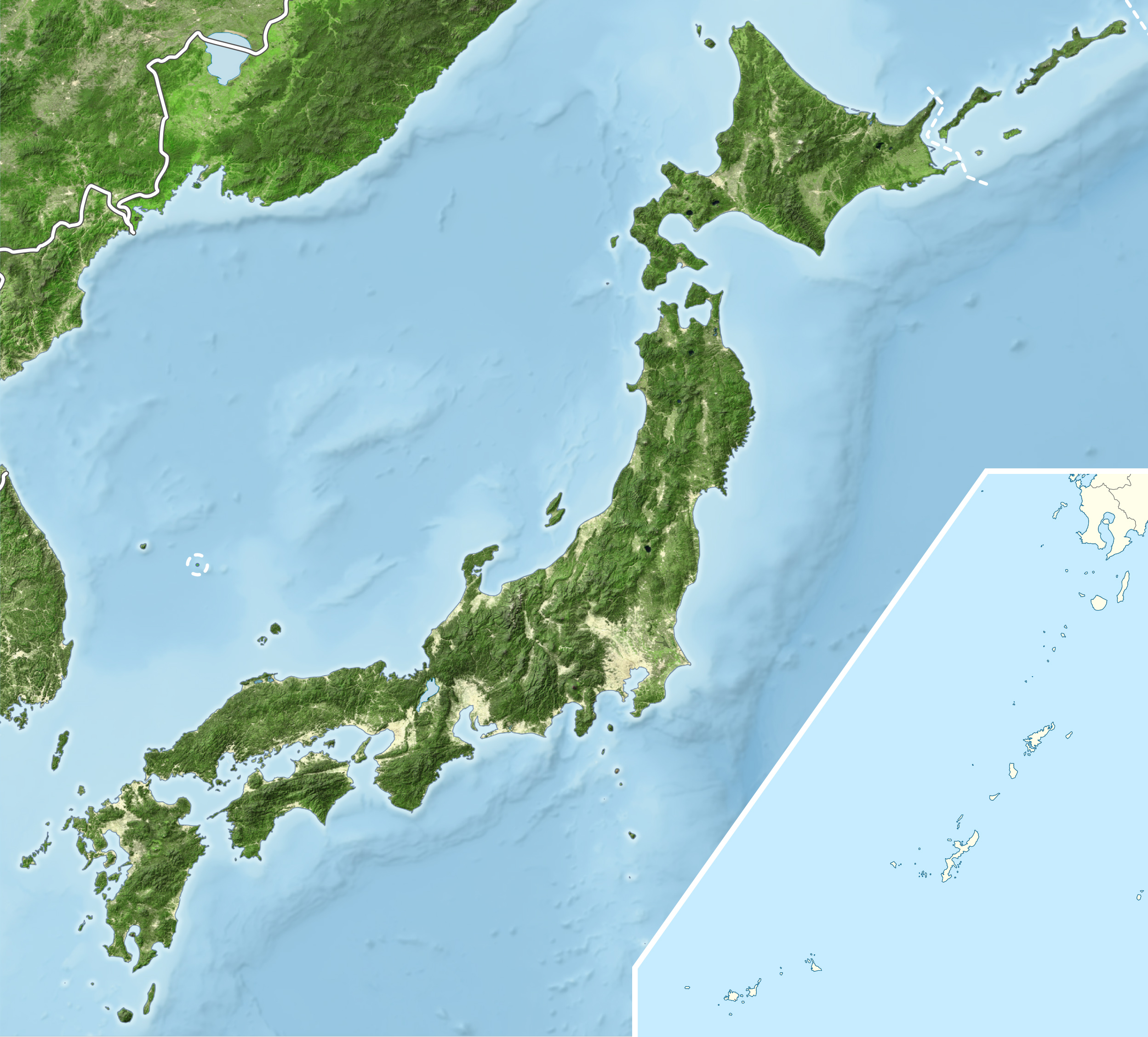
| વર્ણનJapan bluemarble location map with side map of the Ryukyu Islands.jpg |
English: Blue Marble Location map of Japan
Equirectangular projection. Geographic limits to locate objects in the main map with the main islands:
Geographic limits to locate objects in the side map with the Ryukyu Islands:
|
||
| તારીખ | |||
| સ્રોત |
|
||
| લેખક | Alexrk2 | ||
| પરવાનગી (આ ફાઈલનો ફરી ઉપયોગ) |
આ ફાઈલ વપરાશની પરવાનગી : Creative Commons Attribution-Share Alike 3.0 Unported license.
|
||
| અન્ય આવૃત્તિઓ |
|


Captions
Items portrayed in this file
દર્શાવે છે
copyrighted અંગ્રેજી
માર્ચ 2011
ફાઇલનો ઇતિહાસ
તારીખ/સમય ઉપર ક્લિક કરવાથી તે સમયે ફાઇલ કેવી હતી તે જોવા મળશે.
| તારીખ/સમય | લઘુચિત્ર | પરિમાણો | સભ્ય | ટિપ્પણી | |
|---|---|---|---|---|---|
| વર્તમાન | ૦૧:૨૫, ૨૩ માર્ચ ૨૦૧૧ | | ૨,૪૯૭ × ૨,૨૫૬ (૧.૩૮ MB) | Alexrk2 | RGB |
| ૦૦:૩૭, ૨૩ માર્ચ ૨૦૧૧ |  | ૨,૪૯૭ × ૨,૨૫૬ (૮૭૮ KB) | Chumwa | RGB mode | |
| ૦૩:૨૭, ૨૨ માર્ચ ૨૦૧૧ |  | ૨,૪૯૭ × ૨,૨૫૬ (૧.૮૮ MB) | Alexrk2 | jpg quality | |
| ૦૨:૩૫, ૨૨ માર્ચ ૨૦૧૧ |  | ૨,૪૯૭ × ૨,૨૫૬ (૧.૮૨ MB) | Alexrk2 | == {{int:filedesc}} == {{Information |Description= {{en|Blue Marble Location map of Japan Equirectangular projection. Geographic limits to locate objects in the main map with the main islands: * N: 45°51'37" N (45.86°N) * S: 30°01'13" N |
ફાઇલનો વપરાશ
આ ફાઇલને કોઇ પાનાં વાપરતા નથી.
ફાઇલનો વ્યાપક ઉપયોગ
નીચેની બીજી વિકિઓ આ ફાઈલ વાપરે છે:
- ace.wikipedia.org પર વપરાશ
- ar.wikipedia.org પર વપરાશ
- arz.wikipedia.org પર વપરાશ
- ast.wikipedia.org પર વપરાશ
- as.wikipedia.org પર વપરાશ
- azb.wikipedia.org પર વપરાશ
- ban.wikipedia.org પર વપરાશ
- bcl.wikipedia.org પર વપરાશ
- bh.wikipedia.org પર વપરાશ
- bn.wikipedia.org પર વપરાશ
- br.wikipedia.org પર વપરાશ
- bs.wikipedia.org પર વપરાશ
- ca.wikipedia.org પર વપરાશ
- ceb.wikipedia.org પર વપરાશ
- ckb.wikipedia.org પર વપરાશ
- cs.wikipedia.org પર વપરાશ
- da.wikipedia.org પર વપરાશ
- de.wikipedia.org પર વપરાશ
- diq.wikipedia.org પર વપરાશ
- dty.wikipedia.org પર વપરાશ
આ ફાઇલના વધુ વૈશ્વિક વપરાશ જુઓ.
મૅટાડેટા
આ માધ્યમ સાથે વધુ માહિતી સંકળાયેલી છે, જે સંભવતઃ માધ્યમ (ફાઇલ) બનાવવા માટે ઉપયોગમાં લેવાયેલા ડિજીટલ કેમેરા કે સ્કેનર દ્વારા ઉમેરવામાં આવી હશે.
જો માધ્યમને તેના મૂળરૂપમાંથી ફેરફાર કરવામાં આવશે તો શક્ય છે કે અમુક માહિતી પૂરેપૂરી હાલમાં છે તેવી રીતે ન જળવાઈ રહે.
| દિશામાન | સામાન્ય |
|---|---|
| આડું ઘનત્વ | ૫૪૩.૯૯૧૮ dpi |
| ઊભું ઘનત્વ | ૫૪૩.૯૯૧૮ dpi |
| વપરાયેલ સોફ્ટવેર | Adobe Photoshop CS2 Windows |
| ફાઇલ સુધારાની તારીખ અને સમય | ૨૦:૫૩, ૨૨ માર્ચ ૨૦૧૧ |
| રંગ માટે જગ્યા | sRGB |