File:JAPAN_EARTHQUAKE_20110311-rm.png
From Wikipedia, the free encyclopedia
આ પૂર્વાવલોકનનું કદ: ૬૭૧ × ૬૦૦ પિક્સેલ. અન્ય આવર્તનો: ૨૬૯ × ૨૪૦ પિક્સેલ | ૫૩૭ × ૪૮૦ પિક્સેલ | ૮૭૪ × ૭૮૧ પિક્સેલ.
મૂળભુત ફાઇલ (૮૭૪ × ૭૮૧ પીક્સલ, ફાઇલનું કદ: ૨૫૫ KB, MIME પ્રકાર: image/png)
આ ફાઇલ Wikimedia Commonsનો ભાગ છે અને શક્ય છે કે અન્ય પ્રકલ્પોમાં પણ વપરાઇ હોય. ત્યાંનાં મૂળ ફાઇલનાં વર્ણનનાં પાના પર આપેલું વર્ણન નીચે દર્શાવેલું છે.
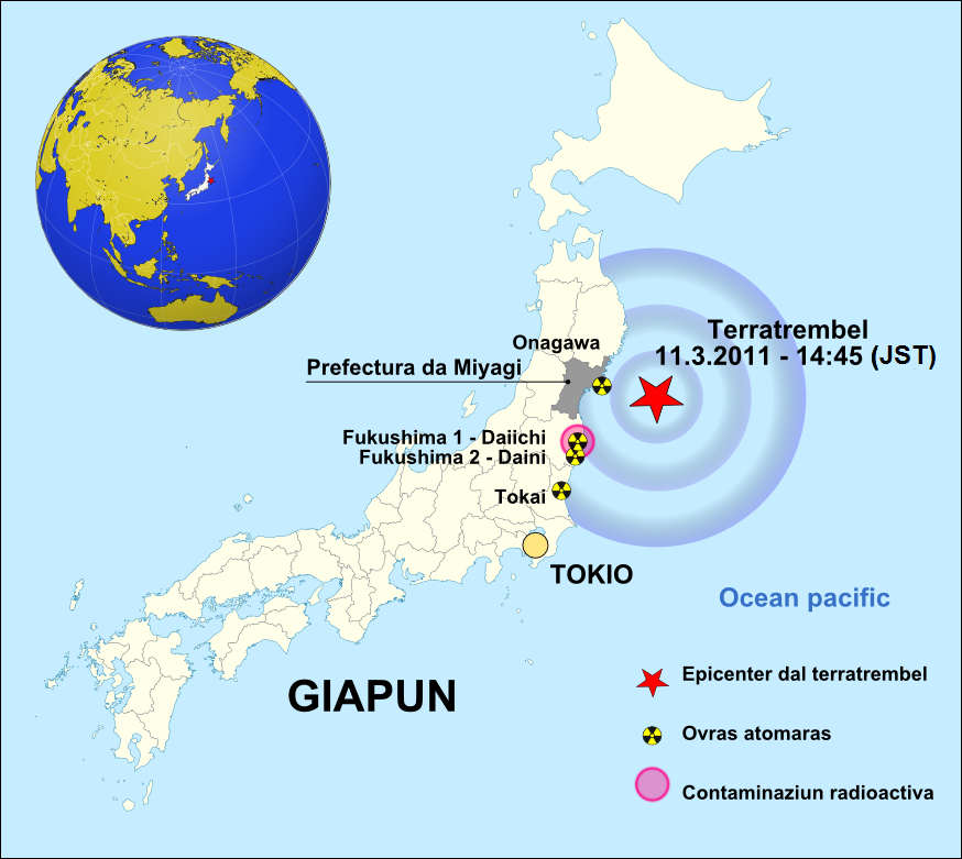
| વર્ણનJAPAN EARTHQUAKE 20110311-rm.png | GIAPUN / Terratrembel / 2011-03-11 |
| તારીખ | (UTC) |
| સ્રોત | |
| લેખક | |
| અન્ય આવૃત્તિઓ | • english version • german version • česká verze • español version |
.svg)
| This is a retouched picture, which means that it has been digitally altered from its original version. Modifications: GIAPUN / Terratrembel / 2011-03-11. The original can be viewed here: Japan location map with side map of the Ryukyu Islands.svg:
|
હું, આ કાર્યનો પ્રકાશનાધિકાર ધારક, તેને નીચેના પરવાનાઓ હેઠળ અહીં પ્રકાશીત કરૂં છું:
આ ફાઈલ વપરાશની પરવાનગી : Creative Commons Attribution-Share Alike 3.0 Unported license.
- તમે મુક્ત છો:
- વહેંચવા – નકલ કરવા, વિતરણ કરવા અને રચનાઓ મોકલવા
- રીમિક્સ કરવા કે મઠારવા – રચના અપનાવવા
- નીચેની શરત હેઠળ:
- આરોપણ – તમારે આ રચનાનો ઉપયોગ કરવા માટે લેખક કે પ્રકાશન અધિકાર ધારકની યોગ્ય માહિતી, પરવાનગી (લાયસન્સ)ની કડી અને તેમાં ફેરફાર કર્યો હોય તો તેનો ઉલ્લેખ કરવો જ પડશે. તમે આ સત્તા અનુસાર જ આ રચનાનો પ્રયોગ થવો જોઈએ, પણ તેઓ તમને અથવા તમારા ઉપયોગ સાથે સંમત થાય છે તે રીતે નહીં.
- શેર- અલાઈક (બિન ભેદભાવ વહેંચણી) – તમે જો આ રચનાને બદલશો, તેમાં ફેરફાર કરશો અથવા તેના પર આધારિત કોઇ કાર્ય બનાવશો તો તમારે પરિણામી કાર્યને તે જ અથવા અનુરૂપ પરવાનગી હેઠળ જ પ્રકાશિત કરવું પડશે.

|
આ રચનાની નકલ કરવા, વિતરણ અને સુધારો કરવા માટે GNU Free Documentation License, આવૃત્તિ 1.2 કે અન્ય આગળની આવૃત્તિ Free Software Foundation હેઠળ પરવાનગી છે; જેમાં કોઈ Invariant Sections, no Front-Cover Texts, and no Back-Cover Texts નથી. આ પરવાનાની પ્રત GNU Free Documentation License વિભાગમાં છે.http://www.gnu.org/copyleft/fdl.htmlGFDLGNU Free Documentation Licensetruetrue |
તમે તમારી પસંદગીનો પરવાનો પસંદ કરી શકો છો.
અસલ - મૂળ અપલોડનો લોગ
This image is a derivative work of the following images:
- File:Japan_location_map_with_side_map_of_the_Ryukyu_Islands.svg licensed with Cc-by-sa-3.0, GFDL
- 2010-10-30T13:53:18Z NordNordWest 413x373 (948276 Bytes) Liancourts Rock boundary
- 2010-09-17T01:15:53Z Dinamik 413x373 (1638123 Bytes) medium color for disputed territories
- 2010-03-21T11:41:34Z Chumwa 413x373 (1597074 Bytes) Präfekturgrenzen bereinigt
- 2010-03-20T13:33:30Z Chumwa 413x373 (1793386 Bytes) Trennlinie zu Nebenkarte etwas verbreitert
- 2010-03-20T09:50:05Z Chumwa 413x373 (2010954 Bytes) == {{int:filedesc}} == {{Information |Description= {{de|Postionskarte von [[:de:Japan|Japan]]}} Quadratische Plattkarte. Bei Nutzung der Hauptkarte mit den Hauptinseln gelten folgende geographische Begrenzungen für die (Ges
Uploaded with derivativeFX
Captions
Add a one-line explanation of what this file represents
Items portrayed in this file
દર્શાવે છે
copyrighted અંગ્રેજી
૧૭ માર્ચ 2011
ફાઇલનો ઇતિહાસ
તારીખ/સમય ઉપર ક્લિક કરવાથી તે સમયે ફાઇલ કેવી હતી તે જોવા મળશે.
| તારીખ/સમય | લઘુચિત્ર | પરિમાણો | સભ્ય | ટિપ્પણી | |
|---|---|---|---|---|---|
| વર્તમાન | ૦૬:૩૬, ૩ એપ્રિલ ૨૦૧૧ | | ૮૭૪ × ૭૮૧ (૨૫૫ KB) | Obankston | corrected timezone |
| ૦૬:૩૧, ૩ એપ્રિલ ૨૦૧૧ |  | ૮૭૪ × ૭૮૧ (૧૫૯ KB) | Obankston | Reverted to version as of 19:39, 17 March 2011 | |
| ૦૬:૨૯, ૩ એપ્રિલ ૨૦૧૧ |  | ૮૭૪ × ૭૮૧ (૨૫૫ KB) | Obankston | corrected timezone | |
| ૧૭:૪૮, ૧૯ માર્ચ ૨૦૧૧ |  | ૮૭૪ × ૭૮૧ (૨૦૩ KB) | W.Rebel | update globe | |
| ૦૧:૦૯, ૧૮ માર્ચ ૨૦૧૧ |  | ૮૭૪ × ૭૮૧ (૧૫૯ KB) | W.Rebel | {{Information |Description=GIAPUN / Terratrembel / 2011-03-11 |Source=*File:Japan_location_map_with_side_map_of_the_Ryukyu_Islands.svg |Date=2011-03-17 19:38 (UTC) |Author=*File:Japan_location_map_with_side_map_of_the_Ryukyu_Islands.svg: [[:de |
ફાઇલનો વપરાશ
આ ફાઇલને કોઇ પાનાં વાપરતા નથી.