Íomhá:Map_of_USA_with_state_names_ka.png
From Wikipedia, the free encyclopedia
Size of this preview: 800 × 495 picteilín. Other resolutions: 320 × 198 picteilín | 640 × 396 picteilín | 1,024 × 633 picteilín | 1,280 × 792 picteilín | 2,000 × 1,237 picteilín.
Taispeáin leagan ardtaifigh den íomhá (2,000 × 1,237 picteilín, méid comhaid: 475 KB, cineál MIME: image/png)
| Seo comhad as An Cómhaoin Viciméid. Tá an tuairisc as an leathanach tuairisc Cómhaoin a leanas thíos.
|
Achoimriú


.svg)


Ceadúnú
| Public domainPublic domainfalsefalse |
| I, the copyright holder of this work, release this work into the public domain. This applies worldwide. In some countries this may not be legally possible; if so: I grant anyone the right to use this work for any purpose, without any conditions, unless such conditions are required by law. |
Captions
Add a one-line explanation of what this file represents
Items portrayed in this file
taispeánann sé/sí
some value
6 Lúnasa 2009
Stair chomhaid
Cliceáil ar dáta/am chun an comhad a radharc mar a bhí sé ag an am sin.
| Dáta/Am | Mionsamhail | Toisí | Úsáideoir | Nóta tráchta | |
|---|---|---|---|---|---|
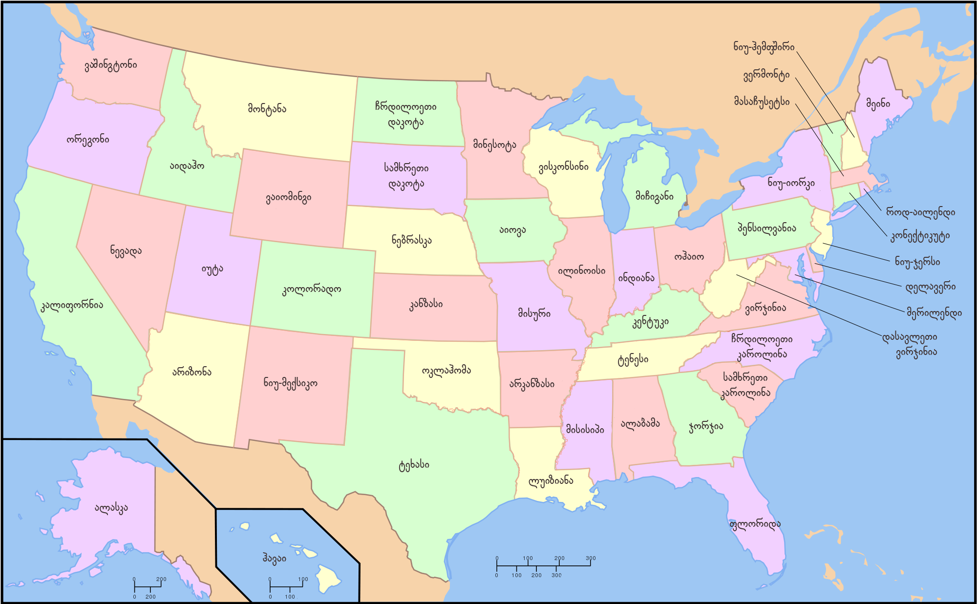
| faoi láthair | 13:23, 6 Lúnasa 2009 | | 2,000 × 1,237 (475 KB) | Temuri rajavi | {{Information |Description={{en|1=Map of USA with state names}} {{ka|1=აშშ-ის რუკა შტატებთან ერთად}} |Source=*Map_of_USA_with_state_names.svg |Author=[[User:Temuri raj |
Úsáid comhaid
Níl nasc ó aon leathanach eile don íomhá seo.