Ofbyld:Süderoogsand.png
From Wikipedia, the free encyclopedia
Gjin hegere resolúsje beskikber.
Süderoogsand.png (591 × 576 pixels, bestânsgrutte: 1.000 KB, MIME-type: image/png)
Dit bestân komt fan Wikimedia Commons, en kin ek troch oare projekten brûkt wurde. De beskriuwing op syn bestânsside dêre wurdt hjirûnder werjûn.
Gearfetting
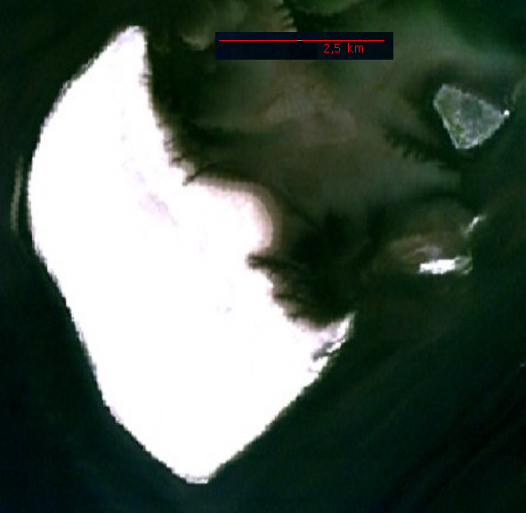
Source: http://permanent.access.gpo.gov/websites/pollux/pollux.nss.nima.mil/NAV_PUBS/SD/pub192/192sec09.pdf, page 200 bottom right, png extraction from pdf document displayed at 100 %, created by National Imagery and Mapping Agency (NIMA)
Lisinsje
| Public domainPublic domainfalsefalse |
This image is a work of the United States National Geospatial-Intelligence Agency or one of its predecessor agencies. As a work of the U.S. federal government, the image is in the public domain.
English ∙ српски / srpski ∙ 日本語 ∙ +/− |
 |
| Annotations InfoField | This image is annotated: View the annotations at Commons |
462
74
124
115
591
576
Süderoog
18
18
398
534
591
576
Süderoogsand
Triemskiednis
Klik op in datum/tiid om it bestân te besjen sa't it op dat stuit wie.
| Datum/Tiid | Miniatuer | ôfmjittings | Meidogger | Opmerking | |
|---|---|---|---|---|---|
| lêste | 21 nov 2006, 00.12 | | 591 × 576 (1.000 KB) | Ratzer | NASA World Wind screenshot |
| 11 okt 2006, 21.59 |  | 109 × 169 (19 KB) | Ratzer | Source: http://permanent.access.gpo.gov/websites/pollux/pollux.nss.nima.mil/NAV_PUBS/SD/pub192/192sec09.pdf, page 200 bottom right, png extraction from pdf document displayed at 100 %, created by National Imagery and Mapping Agency (NIMA) |
Bestânsgebrûk
De neikommende side brûkt dit bestân:
Globaal bestânsgebrûk
De neikommende oare wiki's brûke dit bestân:
- Gebrûk op da.wikipedia.org
- Gebrûk op de.wikipedia.org
- Gebrûk op en.wikipedia.org
- Gebrûk op frr.wikipedia.org
- Gebrûk op mk.wikipedia.org
- Gebrûk op vi.wikipedia.org
Opfrege fan "https://fy.wikipedia.org/wiki/Ofbyld:Süderoogsand.png"