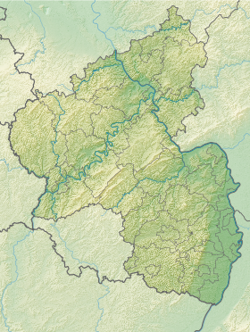
Hochstätten est une municipalité allemande située dans le land de Rhénanie-Palatinat et l'arrondissement de Bad Kreuznach.
| Hochstätten | |||
 Armoiries |
|||
| Administration | |||
|---|---|---|---|
| Pays | Allemagne | ||
| Land | |||
| Arrondissement (Landkreis) |
Bad Kreuznach | ||
| Bourgmestre (Ortsbürgermeister) |
Hermann Spiess | ||
| Code postal | 55585 | ||
| Code communal (Gemeindeschlüssel) |
07 1 33 045 | ||
| Indicatif téléphonique | 06362 | ||
| Immatriculation | KH | ||
| Démographie | |||
| Population | 609 hab. (31/12/2008) | ||
| Densité | 112 hab./km2 | ||
| Géographie | |||
| Coordonnées | 49° 45′ 57″ nord, 7° 49′ 57″ est | ||
| Altitude | 138 m |
||
| Superficie | 546 ha = 5,46 km2 | ||
| Localisation | |||
| Géolocalisation sur la carte : Allemagne
Géolocalisation sur la carte : Rhénanie-Palatinat
| |||
| Liens | |||
| Site web | www.hochstaetten-pfalz.de | ||
| modifier | |||
Notes et références
Wikiwand - on
Seamless Wikipedia browsing. On steroids.

