Fichier:Kent_UK_relief_location_map.jpg
De Wikipedia, l'encyclopédie encyclopedia
Taille de cet aperçu : 800 × 561 pixels. Autres résolutions : 320 × 224 pixels | 640 × 449 pixels | 1 024 × 718 pixels | 1 280 × 898 pixels | 1 999 × 1 402 pixels.
Fichier d’origine (1 999 × 1 402 pixels, taille du fichier : 301 kio, type MIME : image/jpeg)
Ce fichier et sa description proviennent de Wikimedia Commons.
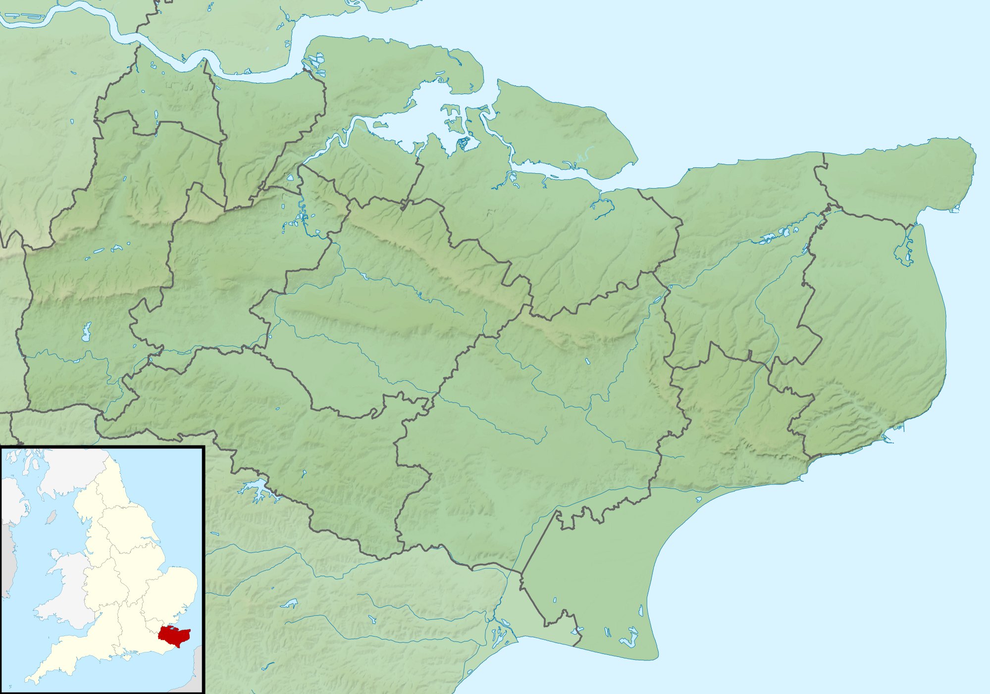
| DescriptionKent UK relief location map.jpg |
Relief map of Kent, UK. Equirectangular map projection on WGS 84 datum, with N/S stretched 160% Geographic limits:
|
| Date | |
| Source |
|
| Auteur | Nilfanion, created using Ordnance Survey data |
| Autorisation (Réutilisation de ce fichier) |
Ce fichier est disponible selon les termes de la licence Creative Commons Attribution – Partage dans les Mêmes Conditions 3.0 (non transposée). Attribution: Contains Ordnance Survey data © Crown copyright and database right
|
| Autres versions | File:Kent UK district map (blank).svg - Blank map |
.svg)
Légendes
Ajoutez en une ligne la description de ce que représente ce fichier
Éléments décrits dans ce fichier
dépeint
29 novembre 2010
Historique du fichier
Cliquer sur une date et heure pour voir le fichier tel qu'il était à ce moment-là.
| Date et heure | Vignette | Dimensions | Utilisateur | Commentaire | |
|---|---|---|---|---|---|
| actuel | 29 novembre 2011 à 03:42 | | 1 999 × 1 402 (301 kio) | Nilfanion | {{Information |Description=Relief map of Kent, UK. Equirectangular map projection on WGS 84 datum, with N/S stretched 160% Geographic limits: *West: 0.01E *East: 1.47E *North: 51.52N *South: 50.88N |Source=[[w:Ordnance Survey|Ordnance Survey] |
Utilisation du fichier
Les 19 pages suivantes utilisent ce fichier :
- Abbaye Saint-Augustin de Cantorbéry
- Bataille d'Otford
- Bataille de Margate
- Bataille des Downs
- Centrale nucléaire de Dungeness
- Cimetière anglo-saxon de Finglesham
- Circuit de Brands Hatch
- Dungeness (cap)
- North Foreland
- Raid sur Gravesend
- Raid sur la Medway
- Swanscombe
- Tonbridge
- White Horse Stone
- Église Saint-Martin de Canterbury
- Île de Sheppey
- Île de Thanet
- Île de l'Homme mort
- Modèle:Géolocalisation/Kent
Usage global du fichier
Les autres wikis suivants utilisent ce fichier :
- Utilisation sur ar.wikipedia.org
- Utilisation sur bg.wikipedia.org
- Utilisation sur ceb.wikipedia.org
- Utilisation sur el.wikipedia.org
- Utilisation sur en.wikipedia.org
- John Dixwell
- Ightham Mote
- Chartwell
- Bewl Water
- Volvo World Match Play Championship
- Royal Cinque Ports Golf Club
- Michael Livesey
- Medway Gap
- London Seniors Masters
- Walmer Lifeboat Station
- Betsom's Hill
- Cliffe Fort
- The Grange, Ramsgate
- 1993 Open Championship
- Long Barn
- Ramsgate Lifeboat Station
- Nathaniel Rich (soldier)
- Capel Manor House
- User:Jokulhlaup/draftarticle21
- Broome Park
- St Augustine's Abbey
- Margate Lifeboat Station
- Whitstable Lifeboat Station
- Sheerness Lifeboat Station
- Dover Lifeboat Station
- SS Maloja
- Poundsbridge Manor
- Dover lorry deaths
- Thanet & District Reform Synagogue
- Module:Location map/data/United Kingdom Kent
- Module:Location map/data/Kent
- Module:Location map/data/United Kingdom Kent/doc
Voir davantage sur l’utilisation globale de ce fichier.
Ce document provient de « https://fr.wikipedia.org/wiki/Fichier:Kent_UK_relief_location_map.jpg ».