پرونده:Location_map_Lower_Manhattan.png
From Wikipedia, the free encyclopedia
پروندهٔ اصلی (۸۲۰ × ۹۹۵ پیکسل، اندازهٔ پرونده: ۱٫۰۱ مگابایت، نوع MIME پرونده: image/png)
این پرونده در ویکیانبار موجود است. محتویات صفحهٔ توصیف آن در زیر نمایش داده میشود. |
| توضیحاتLocation map Lower Manhattan.png |
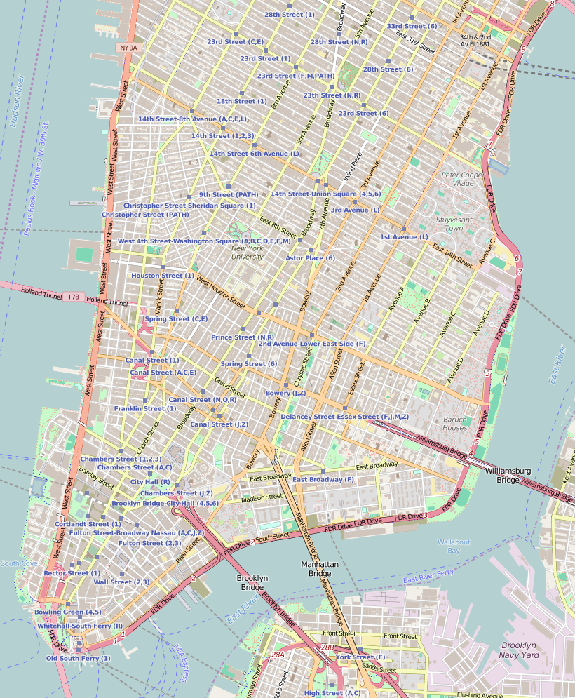
Map of Lower Manhattan This map of Lower Manhattan was created from OpenStreetMap project data, collected by the community. This map may be incomplete, and may contain errors. Don't rely solely on it for navigation. |
|||||||||
| تاریخ | ||||||||||
| منبع | You may find a page on the OpenStreetMap wiki page for Lower Manhattan, New York City, and a little more to the north | |||||||||
| پدیدآورنده |
OpenStreetMap contributors OpenStreetMap contributors |
|||||||||
| اجازهنامه (استفادهٔ مجدد از این پرونده) |
OpenStreetMap data is available under the Open Database License (details). Map tiles are licensed under the Creative Commons Attribution-ShareAlike 2.0 license (CC-BY-SA 2.0).
این پرونده با اجازهنامهٔ کریتیو کامانز Attribution-Share Alike 2.0 عمومی منتشر شده است.
|
|||||||||
| دادههای زمینزمانی | ||||||||||
| جعبهٔ حدود |
|
|||||||||
| زمینمرجعسازی | نقشه را در ویکیمپس رپر زمینمرجع کنید اگر نامناسب بود لطفاً warp_status = skie را برای مخفیسازی تنظیم کنید. | |||||||||
عنوان
آیتمهایی که در این پرونده نمایش داده شدهاند
توصیفها
تاریخچهٔ پرونده
روی تاریخ/زمانها کلیک کنید تا نسخهٔ مربوط به آن هنگام را ببینید.
| تاریخ/زمان | بندانگشتی | ابعاد | کاربر | توضیح | |
|---|---|---|---|---|---|
| کنونی | ۳ اوت ۲۰۱۶، ساعت ۱۱:۵۲ | | ۸۲۰ در ۹۹۵ (۱٫۰۱ مگابایت) | Dr. Blofeld | {{Information |Description ={{en|1=f}} |Source =f |Author =f |Date =f |Permission = |other_versions = }} |
کاربرد پرونده
صفحههای زیر از این تصویر استفاده میکنند:
کاربرد سراسری پرونده
ویکیهای دیگر زیر از این پرونده استفاده میکنند:
- کاربرد در ar.wikipedia.org
- کاربرد در bn.wikipedia.org
- کاربرد در en.wikipedia.org
- Hotel Chelsea
- South Street Seaport
- Henry Street Settlement
- Judson Memorial Church
- Madison Square and Madison Square Park
- Meatpacking District, Manhattan
- Pearl Street (Manhattan)
- Eldridge Street Synagogue
- Lower East Side Tenement Museum
- United States Post Office (Cooper Station)
- First Roumanian-American Congregation
- Grace Church (Manhattan)
- Ukrainian Museum
- Bouwerie Lane Theatre
- Congregation Talmud Torah Adereth El
- Marble Collegiate Church
- Church of St. Joseph in Greenwich Village
- Bialystoker Synagogue
- Kehila Kedosha Janina
- Beth Hamedrash Hagodol
- University Settlement Society of New York
- New York City Marble Cemetery
- Kitchen, Montross & Wilcox Store
- 203 Prince Street
- St. Peter's Church (Manhattan)
- Alfred E. Smith House
- St. James Roman Catholic Church (Manhattan)
- Mariner's Temple
- John Street Methodist Church
- Cary Building (New York City)
- Soho Synagogue
- Colonnade Row
- Angel Orensanz Center
- Congregation Chasam Sopher
- 23rd Street Fire
- Meserich Synagogue
- St. Mark's Historic District
- New York Landmarks Conservancy
- Robbins & Appleton Building
- 56 Pine Street
- 361 Broadway
- Stanton Street Synagogue
- Fulton–Nassau Historic District
- 63 Wall Street
- St. Augustine's Church (Manhattan)
- Trinity Chapel Complex
نمایش استفادههای سراسری از این پرونده.