Fitxategi:Map_of_State_College,_Centre_County,_Pennsylvania_Highlighted.png
From Wikipedia, the free encyclopedia
Bereizmen handikoa ((2.680 × 1.652 pixel, fitxategiaren tamaina: 79 KB, MIME mota: image/png))
Fitxategi hau Wikimedia Commonsekoa da. Hango deskribapen orriko informazioa behean duzu. |
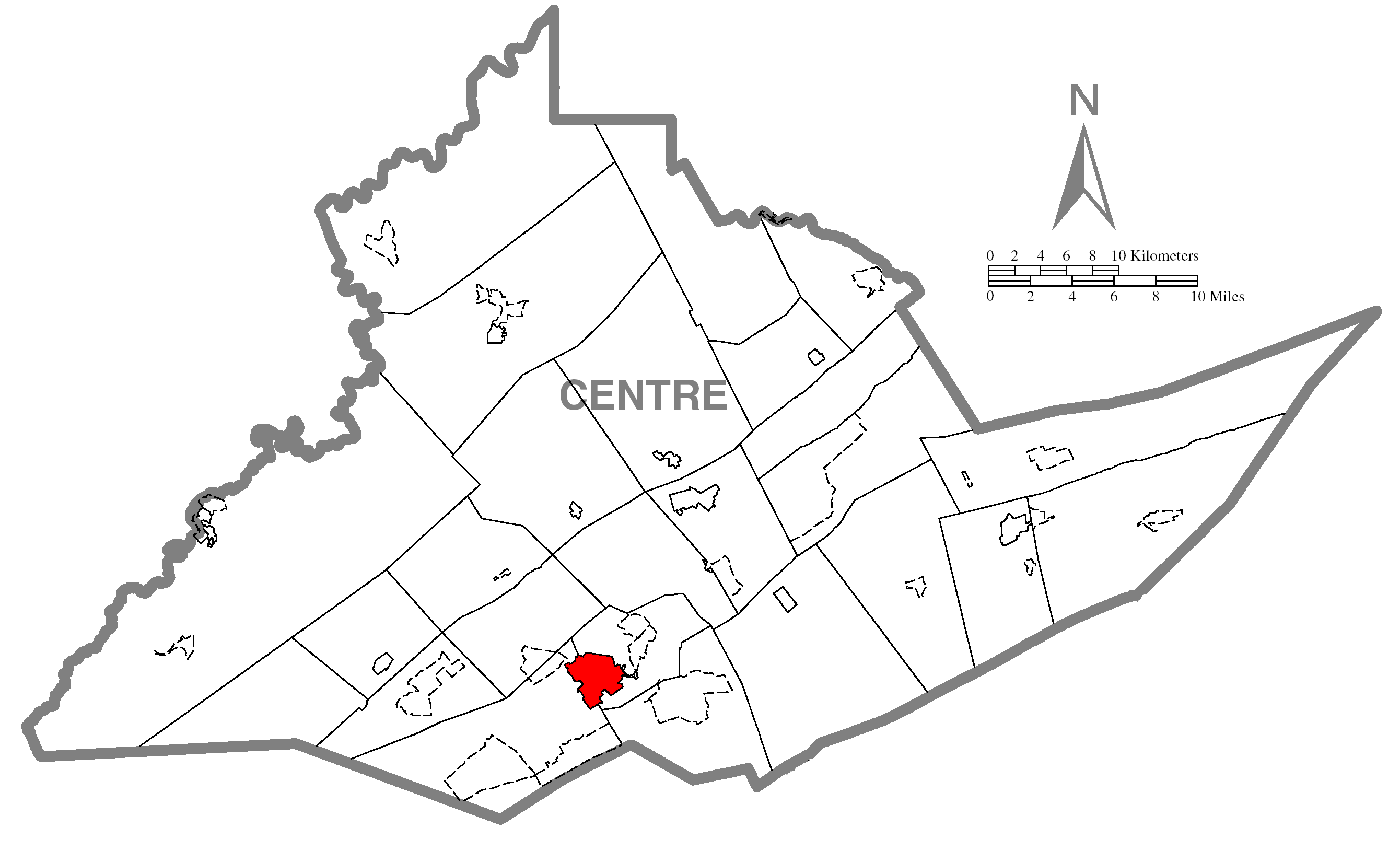
| DeskribapenaMap of State College, Centre County, Pennsylvania Highlighted.png | A map of Centre County showing State College, Pennsylvania (alternate) highlighted on the map. | |||
| Data | ||||
| Jatorria | Source image taken from the United States Census Bureau's website pa_cosub.pdf. Image was modified by Ram-Man. | |||
| Egilea | (c)2006 Derek Ramsey (Ram-Man) (from U.S. Census Bureau source) | |||
| Lizentzia (Fitxategi hau berrerabiltzen) |
A United States Census Bureau / Government work is in the public domain, however, my modifications are licensed as follows: You may NOT use this image on your own web site or anywhere else unless you release this image and any derivative works (e.g. your web site) by following the terms of one of the following licenses. Any other use will be considered a breach of copyright and I reserve the right of legal action. If you have not read the terms of these licenses or do not understand them, then do not use this image. Nik, lan honen egileak, argitaratzen dut ondorengo lizentzia hauen pean:
This file is licensed under the Creative Commons Attribution-Share Alike 2.5 Generic, 2.0 Generic and 1.0 Generic license.
Nahiago duzun lizentzia erabil dezakezu. |
|||
| Beste bertsioak |
Image:Map of Centre County, Pennsylvania.png - Source map before highlighting (with text). Image:Map of Centre County, Pennsylvania No Text.png - Source map before highlighting (without text). |

Irudi-oineko testuak
Fitxategi honetan agertzen diren itemak
honako hau irudikatzen du
31 urria 2006
Fitxategiaren historia
Data/orduan klik egin fitxategiak orduan zuen itxura ikusteko.
| Data/Ordua | Iruditxoa | Neurriak | Erabiltzailea | Iruzkina | |
|---|---|---|---|---|---|
| oraingoa | 19:03, 31 urria 2006 | | 2.680 × 1.652 (79 KB) | Ram-Man | {{Information| |Description={{PennMapDesc|Centre|State College}} |Source=Source image taken from the United States Census Bureau's website [http://www2.census.gov/geo/maps/general_ref/cousub_outline/cen2k_pgsz/pa_cosub.pdf pa_cosub.pdf]. Image was modifie |
Irudira dakarten loturak
Hurrengo orrialdeek dute fitxategi honetarako lotura:
Fitxategiaren erabilera orokorra
Hurrengo beste wikiek fitxategi hau darabilte:
- ar.wikipedia.org proiektuan duen erabilera
- azb.wikipedia.org proiektuan duen erabilera
- ca.wikipedia.org proiektuan duen erabilera
- cy.wikipedia.org proiektuan duen erabilera
- fa.wikipedia.org proiektuan duen erabilera
- fr.wikipedia.org proiektuan duen erabilera
- ga.wikipedia.org proiektuan duen erabilera
- ht.wikipedia.org proiektuan duen erabilera
- ja.wikipedia.org proiektuan duen erabilera
- sh.wikipedia.org proiektuan duen erabilera
- sr.wikipedia.org proiektuan duen erabilera
- tt.wikipedia.org proiektuan duen erabilera
- ur.wikipedia.org proiektuan duen erabilera
- vi.wikipedia.org proiektuan duen erabilera
- vo.wikipedia.org proiektuan duen erabilera
- www.wikidata.org proiektuan duen erabilera
- zh-min-nan.wikipedia.org proiektuan duen erabilera
- zh.wikipedia.org proiektuan duen erabilera