Årstad (municipality)
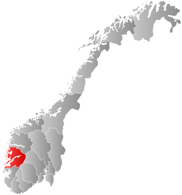
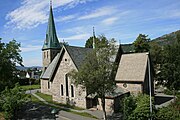
Former municipality in Hordaland, NorwayÅrstad is a former municipality in the old Hordaland county in Norway. The 21.37-square-kilometre (8.25 sq mi) municipality existed from 1838 until 1915 when it was merged into the city of Bergen. The municipality of Årstad was a southern suburb of the city of Bergen, mostly located in the valley to the south of the bay Store Lungegårdsvannet and the Puddefjorden all the way south to the village of Nattland. The administrative centre of Årstad was the village of Kronstad. The mountain Ulriken lies to the east of Årstad and the mountain Løvstakken lies to the west. The municipality is named after the medieval farm Alrekstad, located on this site. The area of the old municipality somewhat corresponds to the present-day borough of Årstad in the city of Bergen.


