Zlatitsa
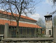
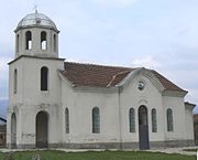
Place in Sofia, BulgariaZlatitsa is a town and the seat of the Zlatitsa Municipality in southern Bulgaria located in the Zlatitsa–Pirdop Valley. It lies between Stara Planina to the north and Sredna Gora to the south, at 680 metres (2,230 ft) above sea level. It is situated immediately south in the lap of the Zlatitsa-Teteven mountain. Zlatitsa is situated 75 kilometres (47 mi) east of Sofia, 27 kilometres (17 mi) south of Etropole, 32 kilometres (20 mi) north of Panagiurishte, 2 kilometres (1.2 mi) west of Pirdop, and 32 kilometres (20 mi) northwest of Koprivshtitsa. The population is 5,286.
Read article


Top Questions
AI generatedMore questions