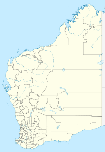
Yeagarup, Western Australia
Locality in the Shire of Manjimup, Western AustraliaYeagarup is a rural locality and town of the Shire of Manjimup in the South West region of Western Australia, on the coastline of the Southern Ocean. The Vasse Highway forms the northern border of the locality while the Warren River forms its southern and the Donnelly River some of its western border. The D'Entrecasteaux National Park runs along the entire coastline of the locality. Much of the Greater Hawke National Park and all of Warren National Park are also located within Yeagarup.
Read article
Top Questions
AI generatedMore questions


