Whitestown, Indiana
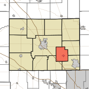
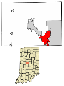
Town in Indiana, United StatesWhitestown is a town in Boone County, Indiana, United States. The population was 10,187 at the 2020 census. The town is located near Interstate 65, approximately 22 miles (35 km) northwest of Downtown Indianapolis, and about 7 miles (11 km) from the northern city limits of Indianapolis, between exits 130 and 133. Since 2010, Whitestown has been the fastest-growing municipality in Indiana; its population increased more than threefold between the 2010 and 2020 Census tabulations.
Read article
Top Questions
AI generatedMore questions
Nearby Places

Zionsville, Indiana
Town in Indiana, United States

Eagle Township, Boone County, Indiana
Township in Indiana, United States

Perry Township, Boone County, Indiana
Township in Indiana, United States

Worth Township, Boone County, Indiana
Township in Indiana, United States

Pryor Brock Farmstead
United States historic place
Traders Point Christian Church
Church in the Indianapolis area

Howard School (Brownsburg, Indiana)
United States historic place

Traders Point Hunt Rural Historic District
Historic district in Indiana, United States


