Whitecross Street, Monmouth
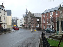
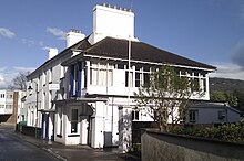
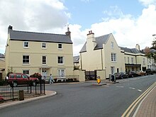
Whitecross Street is a historic street in the town centre of Monmouth, Monmouthshire, Wales. It was in existence by the 15th century, and appears as Whit crose on the 1610 map of the town by cartographer John Speed. It runs in an east-west direction, between Church Street and St James Square. It has been suggested that the street takes its name from a plague cross. Whitecross Street is lined with numerous listed buildings.
Read article
Top Questions
AI generatedMore questions
Nearby Places

St Mary's Priory Church, Monmouth
Church in Monmouthshire, Wales

St Mary's Roman Catholic Church, Monmouth
Church in Monmouthshire, Wales

Monmouth Priory
Benedictine priory in Monmouth, Wales

The Angel Hotel, Monmouth
Historic building in Wales

Priory House, Monmouth

The Griffin, Monmouth
Public House (since early 1880s) in Monmouth, Wales

Monk Street, Monmouth

Wye Bridge Ward, Monmouth


