Washington–Baltimore combined statistical area
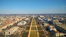
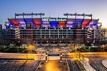
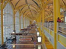
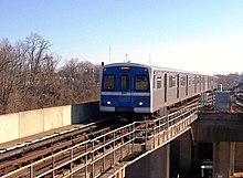
Combined Statistical Area in the United StatesThe Washington–Baltimore combined metropolitan statistical area is a statistical area, including the overlapping metropolitan areas of Washington, D.C. and Baltimore. The region includes Central Maryland, Northern Virginia, three counties in the Eastern Panhandle of West Virginia, and one county in south-central Pennsylvania. It is the most educated, highest-income, and third-most populous combined statistical area in the United States behind New York City–Newark, NJ and Los Angeles–Long Beach.
Read article
Top Questions
AI generatedMore questions
Nearby Places

Lake Anne
Reservoir in Reston, Virginia

Colvin Run Mill
United States historic place

Lake Fairfax Park
Park in Reston, Fairfax County, Virginia
NOVA Wild

Fairfax Christian School
Day and boarding school in Dulles, Fairfax / Loudoun, Virginia, United States
Parabon NanoLabs
American DNA company

Lake Anne Village Center Historic District
Historic district in Virginia, United States
Great Falls Crossing, Virginia
Census-designated place in Virginia


