Uldale
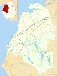
Human settlement in EnglandUldale is a small village and former civil parish in the Cumberland district, in the ceremonial county of Cumbria, England. It is about 5 miles (8 km) from Caldbeck, 2 miles (3 km) from Ireby with which it now forms the civil parish of Ireby and Uldale together with Aughertree. The Uldale Fells are in the vicinity, and to the southeast are Chapelhouse Reservoir and Over Water. It is located just inside the Lake District National Park. In 1931 the parish had a population of 217.
Read article
Top Questions
AI generatedMore questions


