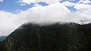
Tena, Cundinamarca
Municipality and town in Cundinamarca, ColombiaTena is a municipality and town of Colombia in the Tequendama Province, part of the department of Cundinamarca. The urban centre is located at an altitude of 1,384 metres (4,541 ft) at a distance of 42 kilometres (26 mi) from the capital Bogotá. The municipality borders Bojaca in the north, La Mesa in the west, San Antonio del Tequendama in the east and El Colegio in the south. The southern border of Tena is formed by the Bogotá River.
Read article
Top Questions
AI generatedMore questions


