St Weonards
Human settlement in EnglandSt Weonards is a village and civil parish in Herefordshire, England, located 10 miles (16 km) south of Hereford, 7 miles (11 km) west of Ross-on-Wye and 8 miles (13 km) north of Monmouth, on the A466 road. Within the parish and also on the A466 is the hamlet of Sandyway. St Weonards lies within the area known to the Saxons as Archenfield, previously the kingdom of Ergyng, adjoining the modern border with Wales. Ergyng was later reduced to a semi-autonomous cantref retaining Welsh language and customs until the early nineteenth century.
Read article


Top Questions
AI generatedMore questions
Nearby Places
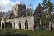
Llanwarne
Human settlement in England

Treago Castle
Orcop
Village in Herefordshire, England

St Michael's Church, Michaelchurch
Church in Herefordshire, England

Pencoyd
Human settlement in England

Tretire with Michaelchurch
Human settlement in England

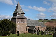
St Weonard's Church, St Weonard
Church in United Kingdom

Garway Dovecote
Dovecote in Garway, Herefordshire