South Croydon
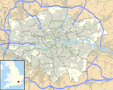
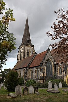
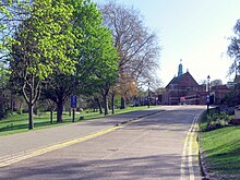
Area of LondonSouth Croydon in south London is the area surrounding the valley south of central Croydon and running as far south as the former Red Deer public house on the Brighton Road. It is bounded by Waddon to the West and Selsdon and Sanderstead to the East. It is part of the South Croydon (CR2) post town and in the London Borough of Croydon.
Read article
Top Questions
AI generatedMore questions
Nearby Places

Sanderstead railway station
National Rail station in London, England

Purley Oaks railway station
South London station on Brighton main line
Whitgift School
Independent school near Croydon, Greater London
South Croydon rail crash
1947 railway accident in South Croydon, England

Selsdon railway station
Former railway station in England

South Croydon (ward)
St Giles School
Community special school in Croydon, Greater London, England
Croydon Natural History & Scientific Society


