Shardlow
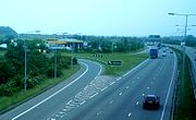
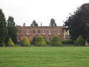
Village in Derbyshire, EnglandShardlow is a village in Derbyshire, England about 6 miles (9.7 km) southeast of Derby and 11 miles (18 km) southwest of Nottingham. Part of the civil parish of Shardlow and Great Wilne, and the district of South Derbyshire, it is also very close to the border with Leicestershire, defined by the route of the River Trent which passes close to the south. Just across the Trent is the Castle Donington parish of North West Leicestershire.
Read article
Top Questions
AI generatedMore questions


