Salween River
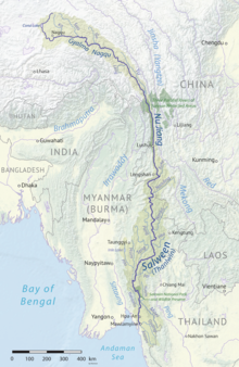
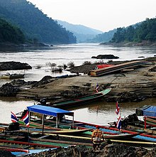
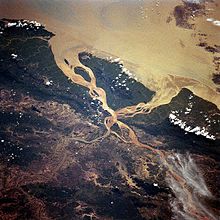
Major river in Southeast AsiaThe Salween is a Southeast Asian river, about 3,289 km (2,044 mi) long, flowing from the Tibetan Plateau south into the Andaman Sea. The Salween flows primarily within southwest China and eastern Myanmar (Burma), with a short section forming the border of Burma and Thailand. Throughout most of its course, it runs swiftly through rugged mountain canyons. Despite the river's great length, only the last 90 km (56 mi) are navigable, where it forms a modest estuary and delta at Mawlamyine. The river is known by various names along its course, including the Thanlwin in Burma and the Nu Jiang in China. The commonly used spelling "Salween" is an anglicisation of the Burmese name dating from 19th-century British maps.
Read article
Top Questions
AI generatedMore questions
Nearby Places
Abit, Myanmar
Village in Mon State, Burma


