Rio Grande
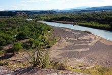
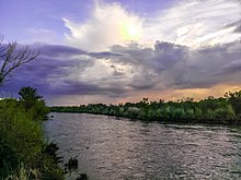
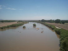
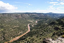
Major river forming part of the United States and Mexico borderThe Rio Grande in the United States or the Río Bravo in Mexico, also known as P’osoge in Tewa and Tó Ba’áadi in Navajo, is one of the principal rivers in the Southwestern United States and in northern Mexico. The length of the Rio Grande is 1,896 miles (3,051 km), making it the 4th longest river in the United States and in North America by main stem. It originates in south-central Colorado, in the United States, and flows to the Gulf of Mexico. The Rio Grande drainage basin (watershed) has an area of 182,200 square miles (472,000 km2); however, the endorheic basins that are adjacent to and within the greater drainage basin of the Rio Grande increase the total drainage-basin area to 336,000 square miles (870,000 km2).
Read article
Top Questions
AI generatedMore questions
Nearby Places

Bagdad, Tamaulipas
Former settlement in Tamaulipas, Mexico.

Camp Belknap (military camp)
1846 American encampment in Texas

Ingham incident

SpaceX Starbase
SpaceX private launch site
Boca Chica Village, Texas
Unincorporated community in Texas

STARGATE
Radio-frequency technology facility in southern Texas
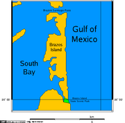
Brazos Island
Island in the United States of America
Boca Chica (Texas)
Area on the Rio Grande River Delta
