Rayners Lane
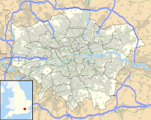
Road and area in LondonRayners Lane is a suburban district in the London Borough of Harrow that forms the western part of Harrow in northwest London. Located between Pinner and West Harrow, it takes its name from a road in the area, also called Rayners Lane which runs from Marsh Road in Pinner to Eastcote Lane in South Harrow.
Read article
Top Questions
AI generatedMore questions
Nearby Places

Rayners Lane tube station
London Underground station
Harrow Garden Village
Rayners Lane F.C.
Association football club in England

Roxbourne
Human settlement in England
Broadfields United F.C.
Association football club in England
Regent Independent College
Private sixth form school in London, England

Rayners, Rayners Lane
Pub in Rayners Lane, London

Ace Cinema
Cinema in Rayners Lane


