Ratanakiri province
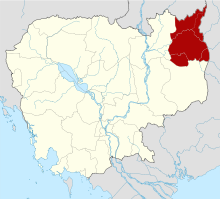
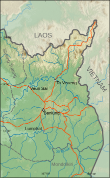
Province of CambodiaRatanakiri is a province of northeast Cambodia. It borders the provinces of Mondulkiri to the south and Stung Treng to the west and the countries of Laos (Attapeu) and Vietnam to the north and east, respectively. The province extends from the mountains of the Annamite Range in the north, across a hilly plateau between the Tonlé San and Tonlé Srepok rivers, to tropical deciduous forests in the south. In recent years, logging and mining have scarred Ratanakiri's environment, long known for its beauty.
Read article
Top Questions
AI generatedMore questions
Nearby Places
Ratanakiri Airport
Airport in Ban Lung, Cambodia

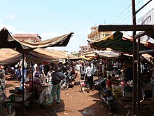
Banlung
City in Ratanakiri, Cambodia

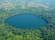
Lake Yeak Laom
Crater lake in Ratanakiri, Cambodia

Banlung Municipality
Municipality in Ratanakiri, Cambodia
Cha Ung
Commune in Ou Chum District, Ratanakiri, Cambodia
Ou Chum (commune)
Commune in Ratanakiri Province, Cambodia
Yeak Laom
Commune in Ratanakiri, Cambodia
O Chum 2 Hydropower Dam
Dam in Ratanakiri, Cambodia


