Rangitoto Channel
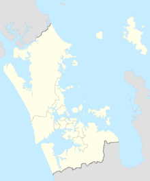
Navigable waterway between Rangitoto Island and the Devonport PeninsulaThe Rangitoto Channel is an area of the Hauraki Gulf in the Auckland Region of New Zealand's North Island. The channel is north-east of the Waitematā Harbour, and is located between the North Shore and Rangitoto Island. The channel's traditional Ngāi Tai name is Te Awanui o Peretū, and is an important deep water shipping channel to reach the Ports of Auckland.
Read article
Top Questions
AI generatedMore questions
Nearby Places

Belmont, Auckland
Suburb in Auckland, New Zealand

Narrow Neck, New Zealand
Suburb in Auckland, New Zealand

Takapuna Grammar School
Secondary school in Auckland

North Head (New Zealand)
Scoria cone in Auckland, New Zealand

North Shore Rugby Football Club
Rugby team

Belmont Intermediate School
State co-ed intermediate, years 7-8 school

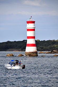
Rangitoto Lighthouse
Lighthouse in New Zealand

Mount Cambria
Mountain in New Zealand


