Rangamati
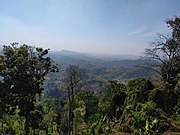
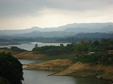
Town in Chittagong, BangladeshRangamati (Bengali: রাঙ্গামাটি is the administrative headquarter and town of Rangamati District in the Chittagong Hill Tracts of Bangladesh. The town is located at 22°37'60N 92°12'0E and has an altitude of 14 metres. It was the capital of the Chakma kingdom during the British rule in Chittagong hill tracts.
Read article
Top Questions
AI generatedMore questions
Nearby Places

Rangamati District
District in Chattogram Division, Bangladesh

Rangamati Sadar Upazila
Upazila in Chittagong, Bangladesh
Lakers' Public School and College
Private school in Bangladesh
Rangamati Stadium
Rangamati Medical College
College in Bangladesh
Rangamati Cantonment
Bangladeshi military cantonment
Rangamati Science and Technology University
Bangladeshi university
Love Point, Bangladesh
Memorial in Kaptai, Rangamati, Bangladesh


