Punggol
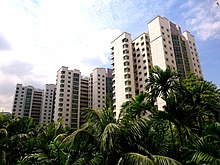
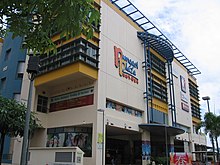
Planning Area and HDB Town in North-East Region ----, SingaporePunggol is a planning area and new town situated on the Tanjong Punggol peninsula in the North-East Region of Singapore. The town directly borders Sengkang to the south and shares riverine boundaries with the planning area of Seletar to the west and Pasir Ris to the east. Bounding the town to the north and north-east is the Straits of Johor, with Coney Island included as a part of the Punggol planning area.
Read article
Top Questions
AI generatedMore questions
Nearby Places

Global Indian International School, Singapore
Private international school in Singapore
Treelodge@Punggol
Public Housing in Punggol Drive and Punggol Place, Singapore
Greendale Secondary School
School in Singapore

Punggol MRT/LRT station
Mass Rapid Transit and light rail station in Singapore

Edgefield Secondary School
Government school in Singapore

Masjid Al Islah

Compassvale Secondary School
Government school in Singapore

Oasis Terraces
Hospital


