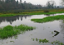
Puddletown
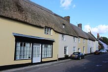
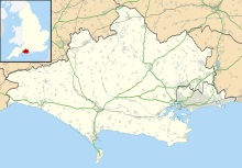
Village in Dorset, EnglandPuddletown is a village in the civil parish of Athelhampton and Puddletown, in Dorset, England. It is situated by the River Piddle, from which it derives its name, about 4.5 miles (7 km) northeast of the county town Dorchester. Its earlier name Piddletown fell out of favour, probably because of connotations of the word "piddle". The name Puddletown was officially sanctioned in the late 1950s. Puddletown's civil parish covers 2,908 hectares and extends to the River Frome to the south. In 2013, the estimated population of the civil parish was 1450.
Read article
Top Questions
AI generatedMore questions
Nearby Places

Tincleton
Village in England

Athelhampton
Hamlet in Dorset, England
Puddletown Hundred

Burleston
Human settlement in England

St John's Church, Tolpuddle
Church in Dorset, England

Waterston Manor
Historic site in Dorset, England

Devils Brook (Dorset)
Stream in Dorset, England

St John's Church, Tincleton
Church in Dorset, England
