Portland Transit Mall
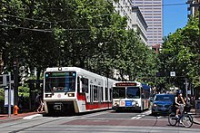
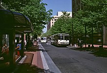
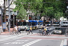
Public transit corridor in Portland, USThe Portland Transit Mall is a 1.2-mile (1.9 km) public transit corridor that travels north–south through the center of downtown in Portland, Oregon, United States. It comprises a pair of one-way streets—6th Avenue for northbound traffic and 5th Avenue for southbound—along which two of three lanes are restricted to transit buses and light rail vehicles only. As of September 2022, the corridor is served by the Green, Orange, and Yellow lines of MAX Light Rail; Frequent Express; and over a dozen local bus routes, all of which are services of TriMet, the transit agency operating within the Oregon side of the Portland metropolitan area. C-Tran, the transit agency for Clark County, Washington, additionally serves it with two express bus routes—#105 I-5 Express and #164 Fisher’s Landing Express.


