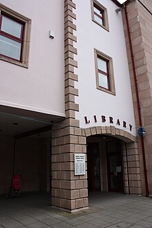
Portadown
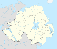
Town in County Armagh, Northern IrelandPortadown is a town in County Armagh, Northern Ireland. The town is based on the River Bann in the north of the county, about 24 miles (39 km) southwest of Belfast. It is in the Armagh City, Banbridge and Craigavon Borough Council area and had a population of about 32,000 at the 2021 Census. For some purposes, Portadown is treated as part of the "Craigavon Urban Area", alongside Craigavon and Lurgan.
Read article
Top Questions
AI generatedMore questions
Nearby Places

Portadown railway station
Railway station in County Armagh, Northern Ireland
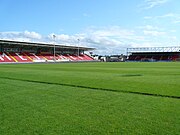
Shamrock Park
Football stadium in Portadown, Northern Ireland
Drumcree College
Maintained school in Portadown, County Armagh, Northern Ireland

Clounagh Junior High School
School in Portadown

Portadown massacre
Massacre of Protestants during the 1641 Irish Rebellion
Killicomaine Junior High School
Secondary school in Portadown, Armagh, Northern Ireland

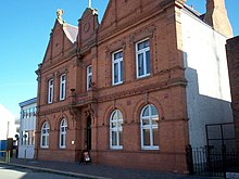
Portadown Town Hall
Municipal Building in Portadown, Northern Ireland
St John the Baptist's College, Portadown
Secondary school in County Armagh, Northern Ireland

