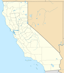
Ocotillo Wells, California
Unincorporated community in California, United StatesOcotillo Wells is an unincorporated community in San Diego County, California, United States. It is 3 miles (4.8 km) west of the Imperial County line on California State Route 78 at an elevation of 163 feet (50 m). The name became official in 1962 when it was adopted for federal use by the US Board on Geographic Names. A federally recognized variant name, Ocotillo, can cause confusion with the community of Ocotillo, California, in Imperial County, 29 mi (47 km) to the south on Interstate 8.
Read article
Top Questions
AI generatedMore questions


