North Killingholme Haven
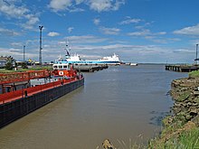
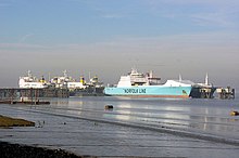
United Kingdom legislationNorth Killingholme Haven is a water outlet on the south bank of the Humber Estuary in the civil parish of North Killingholme, to the north-west of the Port of Immingham.
Read article
Top Questions
AI generatedMore questions
Nearby Places

East Halton
Village in Lincolnshire, England
Lindsey Oil Refinery
Oil refinery in North Killingholme

Immingham Power Station
Combined heat and gas-fired power plant

East Halton railway station
Former railway station in Lincolnshire, England

Killingholme railway station
Former railway station in Scotland

Killingholme Admiralty Platform railway station
Former railway station in England

Killingholme A power station
Former natural gas power station

Killingholme B power station
Natural gas power station in England


