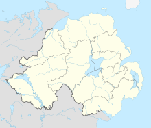
Newtownstewart
Human settlement in Northern IrelandNewtownstewart is a village and townland of 540 acres (219 ha) in County Tyrone, Northern Ireland. It is overlooked by hills called Bessy Bell and Mary Gray and lies on the River Strule below the confluence with its tributary the Owenkillew. It is situated in the historic barony of Strabane Lower and the civil parish of Ardstraw. In the 2011 Census it had a population of 1,551 people. It lies within the Derry City and Strabane District Council area.
Read article
Top Questions
AI generatedMore questions
Nearby Places

Harry Avery's Castle
Ruined castle in County Tyrone, Northern Ireland

Stewart Castle, Northern Ireland
Ruined castle in County Tyrone, Northern Ireland
Newtownstewart St Eugene's GAC
Tyrone-based Gaelic games club

Newtownstewart railway station
Railway station in Northern Ireland, 1852–1965

River Derg
River in Counties Donegal and Tyrone on the island of Ireland

Baronscourt
Georgian country house and estate in County Tyrone, Northern Ireland

River Strule

Newtownstewart Town Hall
Municipal Building in Newtownstewart, Northern Ireland


