Mount Chōkai
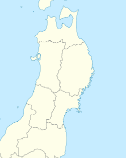
Active volcano in the Tohoku region of JapanMount Chōkai is an active volcano located on the southern border of Akita and Yamagata in the Tōhoku region of Japan, and is 2,236 m (7,336 ft) tall. Because of its (roughly) symmetrical shape and massive size, it is also variously known as Dewa Fuji (出羽富士), Akita Fuji (秋田富士) or Shōnai Fuji (庄内富士) depending on the location of the viewer. In addition to being one of the 100 Famous Landscapes of Japan, it is also included as one of the 100 famous mountains in Japan, and famous 100 Geographical Features of Japan. It is surrounded by Chōkai Quasi-National Park. It is also a National Historic Site of Japan, and is regarded as a sacred mountain by followers of the Shugendō branch of Shinto which has the shrine Chōkaisan Ōmonoimi Shrine there and is popular with hikers.


