Monhegan, Maine
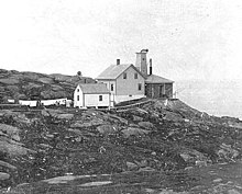
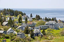
Plantation in Maine, United StatesMonhegan is an island in the Gulf of Maine. A plantation, a minor civil division in the state of Maine falling between unincorporated area and a town, it is located approximately 12 nautical miles (22 km) off the mainland and is part of Lincoln County, Maine, United States. The population was 64 at the 2020 census. The plantation comprises its namesake island and the neighboring island of Manana. The island is accessible by scheduled boat service from Boothbay Harbor, New Harbor and Port Clyde. Visitors' cars are not allowed on the island. It was designated a United States National Natural Landmark for its coastal and island flora in 1966.
Read article
Top Questions
AI generatedMore questions
Nearby Places

Capture of HMS Boxer

Manana Island Sound Signal Station
Lighthouse

Monhegan Island Light
Lighthouse on Monhegan Island, Maine

Manana Island (Maine)
Island in Lincoln County, Maine, United States
Rockwell Kent Cottage and Studio
Historic house in Maine, United States

The Influence (Monhegan, Maine)
Historic house in Maine, United States


