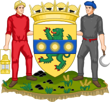
Midlothian
Council area of ScotlandMidlothian is registration county, lieutenancy area and one of 32 council areas of Scotland used for local government. Midlothian lies in the east-central Lowlands, bordering the City of Edinburgh council area, East Lothian and the Scottish Borders. The modern council area was formed in 1975 when the historic county of Midlothian, also known as Edinburghshire, was altered substantially as part of local government reforms; its southern part formed a new Midlothian District within the Region of Lothian, whilst areas on the peripheries were assigned to other districts and the city of Edinburgh, which had always been autonomous to an extent, was formally separated as the City of Edinburgh District. In 1996 Midlothian became a unitary authority area, using the same name and territory as in 1975.


