Methwold
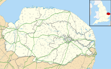
Human settlement in EnglandMethwold is a village and civil parish in the English county of Norfolk, on the edge of the Norfolk Fens and Breckland. With an area of 49 km2 (19 sq mi) it is the second largest parish in Norfolk. It had a population of 1,502 in 591 households at the 2011 Census, up by less than 2% from 1,476 at the 2001 census, For the purposes of local government, it falls within the district of King's Lynn and West Norfolk.
Read article
Top Questions
AI generatedMore questions
Nearby Places

Northwold
Village in Norfolk, England

Feltwell
Human settlement in England

St Nicholas Church, Feltwell
Church in Norfolk, England
Iceni Academy
Academy in Methwold, Norfolk, England

Cranwich Camp

The Brinks, Northwold
Protected area in Norfolk, England

St Andrew's Church, Northwold
Church in Norfolk, England
Slevesholm Priory

