Mahanadi
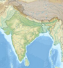
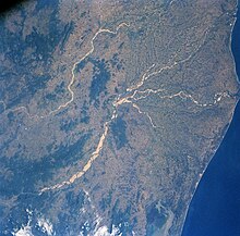
River in East Central IndiaThe Mahanadi River is a major river in East Central India. It drains an area of around 132,100 square kilometres (51,000 sq mi) and has a total length of 900 kilometres (560 mi). Mahanadi is also known for the Hirakud Dam which was the first major multipurpose river valley project after India's independence in 1947. The river flows through the states of Chhattisgarh and Odisha, before finally ending in the Bay of Bengal.
Read article
Top Questions
AI generatedMore questions


