Lucan, Dublin
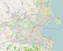
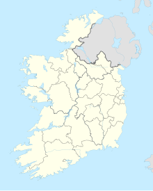
Outer suburb of Dublin, IrelandLucan is an outer suburb of Dublin, Ireland, located 12 km west of Dublin city centre, on the River Liffey. It is near the Strawberry Beds and Lucan Weir, and at the confluence of the River Griffeen. It is mostly in the local government area of South Dublin, with the exception of the North Lucan areas of Laraghcon, Coldblow and Saint Catherine's Park, which are in Fingal. Lucan is in a townland and civil parish of the same name, in the barony of Newcastle. Road access to Lucan is from the N4, and the M50 motorway at Junction 7.
Read article
Top Questions
AI generatedMore questions
Nearby Places

Lucan Bridge
Bridge over the River Liffey in Ireland

Adamstown railway station (Ireland)
Railway station in County Dublin, Ireland

Garda GAA
Gaelic games club in County Dublin, Ireland

Coláiste Phádraig (Lucan)
Secondary school in Republic of Ireland

Lucan Manor
Georgian-Palladian house in Dublin, Ireland

Marie Keating Foundation
Murder of Ana Kriégel
2018 murder in Ireland

St Finian's Esker church and graveyard
Church in Dublin, Ireland


