Lisianski Island
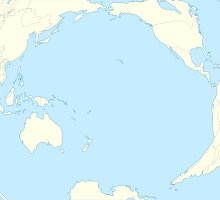
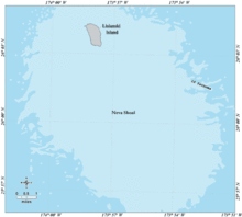
Island in HawaiiLisianski Island is one of the Northwestern Hawaiian Islands, with a land area of 384.425 acres (155.571 ha) and a maximum elevation of 40 feet (12 m) above sea level. It is a low, flat sand and coral island about 905 nautical miles northwest of Honolulu, Hawaii. The island is surrounded by reefs and shoals, including the extensive Neva Shoals. Access to the island is possible only by helicopter or by boat via a narrow sandy inlet on the southeastern side of the island.
Read article
Top Questions
AI generatedMore questions


