Lake Tana
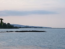
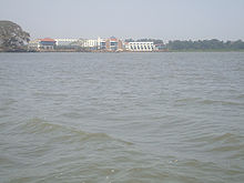
Largest lake in Ethiopia and major source of Blue NileLake Tana is the largest lake in Ethiopia and a source of the Blue Nile. Located in Amhara Region in the north-western Ethiopian Highlands, the lake is approximately 84 kilometres long and 66 kilometres wide, with a maximum depth of 15 metres, and an elevation of 1,788 metres. Lake Tana is fed by the Gilgel Abay, Reb and Gumara rivers. Its surface area ranges from 3,000 to 3,500 square kilometres, depending on season and rainfall. The lake level has been regulated since the construction of the control weir where the lake discharges into the Blue Nile. This controls the flow to the Blue Nile Falls and hydro-power station.
Read article
Top Questions
AI generatedMore questions


