Map Graph

Kawhia Harbour

Harbour and settlement in Waikato, New Zealand

Kawhia Harbour is one of three large natural inlets in the Tasman Sea coast of the Waikato region of New Zealand's North Island. It is located to the south of Raglan Harbour, Ruapuke and Aotea Harbour, 40 kilometres southwest of Hamilton. Kawhia is part of the Ōtorohanga District and is in the King Country. It has a high-tide area of 68 km2 (26 sq mi) and a low-tide area of 18 km2 (6.9 sq mi). Te Motu Island is located in the harbour.

Read article
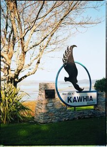
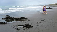
File:Kawhia_Harbour.jpgFile:The_waterfront,_Kawhia,_Waikato_region,_with_St_Elmo_boarding_house_in_foreground_-_Photograph_taken_by_Jonathan_Ltd_(21400509299).jpgFile:Welcome_to_Kawhia.jpgFile:Rimu_at_Waiharakeke.jpgFile:Te_Puia_Springs_are_on_the_beach_to_the_right_from_this_track_across_the_dunes.JPGFile:Te_Puia_springs_on_beach.jpgFile:Former_Kawhia_County_Council_office_in_2020.jpgFile:Kāwhia_Pou_Maumahara_was_unveiled_in_2016.jpgFile:Kawhia_hospital_in_1963.jpg
Top Questions
AI generated

List the top facts about Kawhia Harbour

Summarize this article

What is the single most intriguing fact about Kawhia Harbour?

Are there any controversies surrounding Kawhia Harbour?

More questions