Jumla District
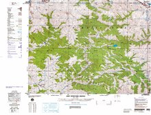
District in Karnali Province, NepalJumla District, is one of the ten districts of the Karnali province of Nepal. This district has Jumla as its headquarters, an area of 2,531 square kilometres (977 sq mi); it had populations of 89,427 and 108,921, respectively, in the national censuses of 2001 and 2011. Its territory lies between longitudes 81⁰ 28' and 82⁰ 18' East, and between latitudes 28⁰ 58' and 29⁰ 30' North.
Read article


Top Questions
AI generatedMore questions
Nearby Places

Jumla Airport
Airport

Jumla (town)
Town in Karnali Province, Nepal
Depalgaun
Municipality in Karnali Zone, Nepal
Garjyangkot
Municipality in Karnali Zone, Nepal
Talium
Place in Karnali Zone, Nepal

Chandannath Temple
Hindu temple in Nepal

Karnali Province
Province of Nepal
Karnali Academy of Health Sciences
Hospital in Karnali province, Nepal